Area Overview for PR6 0PJ
Photos of PR6 0PJ
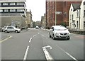
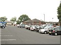
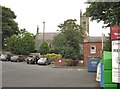
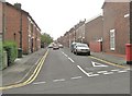
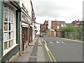
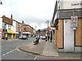
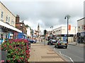

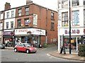
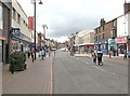
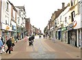

100 photos from this area
Area Information
Key information about the PR6 0PJ including its size, population, and administrative classification.
- Area Type
- Postcode
- Area Size
- 9419 m²
- Population
- 1737
- Population Density
- 5305 people/km²
House Prices in PR6 0PJ
48
Properties
£99,225
Average Sold Price
£20,000
Lowest Price
£240,000
Highest Price
Showing 48 properties
| Address | Type | Beds | Baths | Last Sale Price | Last Sale Date | |
|---|---|---|---|---|---|---|
| 187 Lyons Lane, Chorley, PR6 0PJ | Terraced | 2 | 1 | £99,000 | May 2023 | |
| 183 Lyons Lane, Chorley, PR6 0PJ | house | 3 | 1 | £132,000 | Dec 2022 | |
| 113 Lyons Lane, Chorley, PR6 0PJ | house | - | - | £132,000 | Dec 2021 | |
| 142 Lyons Lane, Chorley, PR6 0PJ | Office | - | - | £240,000 | Sep 2021 | |
| 181 Lyons Lane, Chorley, PR6 0PJ | Terraced | - | - | £45,000 | Oct 2020 | |
| 170 Lyons Lane, Chorley, PR6 0PJ | Terraced | 4 | 2 | £123,700 | Nov 2018 | |
| 115 Lyons Lane, Chorley, PR6 0PJ | Terraced | 3 | - | £100,000 | Mar 2018 | |
| 166A Lyons Lane, Chorley, PR6 0PJ | Semi-detached | - | - | £55,000 | Nov 2009 | |
| 179 Lyons Lane, Chorley, PR6 0PJ | house | 3 | 1 | £102,500 | Mar 2008 | |
| 168 Lyons Lane, Chorley, PR6 0PJ | Terraced | 2 | - | £125,000 | Jul 2007 |
Page 1 of 5
Energy Efficiency in PR6 0PJ
Amenities
Schools
| Rank | School | Type | Entry gender | Ages |
|---|
Explore more schools in this area
Go to Schools tabDemographics
Household Size
One person
most common
Accommodation Type
Houses
most common
Tenure
38
majority
Ethnic Group
White
most common
Religion
N/A
most common
Household Composition
N/A
most common
Age
47
median
Adults (30-64 years)
most common
Household Deprivation
N/A
with no deprivation
NS-SEC
17
in Lower managerial occupations
Explore more demographic insights in this area
Go to Demographics tabPlanning
Planning Constraints
- Flood RiskPremium
- Ramsar Wetland SitesPremium
- Area of Outstanding Natural BeautyPremium
- Protected Nature ReservePremium
- Protected WoodlandPremium