Area Overview for PR6 0DB
Photos of PR6 0DB
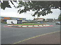
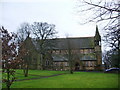
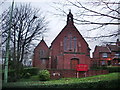
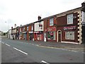
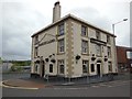
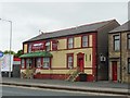
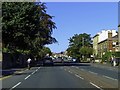
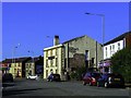
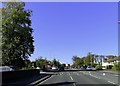
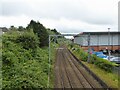
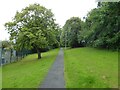
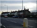
29 photos from this area
Area Information
Key information about the PR6 0DB including its size, population, and administrative classification.
- Area Type
- Postcode
- Area Size
- 7261 m²
- Population
- 1406
- Population Density
- 5428 people/km²
House Prices in PR6 0DB
35
Properties
£136,889
Average Sold Price
£23,000
Lowest Price
£1,053,609
Highest Price
Showing 35 properties
| Address | Type | Beds | Baths | Last Sale Price | Last Sale Date | |
|---|---|---|---|---|---|---|
| 23 Brock Road, Chorley, PR6 0DB | Terraced | 2 | 1 | £138,000 | Sep 2025 | |
| 41 Brock Road, Chorley, PR6 0DB | Terraced | 3 | 1 | £130,950 | Aug 2023 | |
| 15 Brock Road, Chorley, PR6 0DB | Terraced | 2 | 1 | £144,777 | Jun 2023 | |
| 39 Brock Road, Chorley, PR6 0DB | Terraced | 3 | 1 | £115,000 | Mar 2023 | |
| 19 Brock Road, Chorley, PR6 0DB | house | - | - | £1,053,609 | Sep 2020 | |
| 2B Brock Road, Chorley, PR6 0DB | house | - | - | £126,000 | May 2018 | |
| 35 Brock Road, Chorley, PR6 0DB | Terraced | 3 | 1 | £120,000 | Apr 2018 | |
| 9 Brock Road, Chorley, PR6 0DB | Terraced | 2 | 1 | £88,000 | Apr 2018 | |
| 33 Brock Road, Chorley, PR6 0DB | Terraced | 2 | 1 | £89,000 | Oct 2017 | |
| 2A Brock Road, Chorley, PR6 0DB | Semi-detached | 3 | 1 | £110,000 | Aug 2017 |
Page 1 of 4
Energy Efficiency in PR6 0DB
Amenities
Schools
| Rank | School | Type | Entry gender | Ages |
|---|
Explore more schools in this area
Go to Schools tabDemographics
Household Size
One person
most common
Accommodation Type
Houses
most common
Tenure
61
majority
Ethnic Group
White
most common
Religion
N/A
most common
Household Composition
N/A
most common
Age
47
median
Adults (30-64 years)
most common
Household Deprivation
N/A
with no deprivation
NS-SEC
27
in Lower managerial occupations
Explore more demographic insights in this area
Go to Demographics tabPlanning
Planning Constraints
- Flood RiskPremium
- Ramsar Wetland SitesPremium
- Area of Outstanding Natural BeautyPremium
- Protected Nature ReservePremium
- Protected WoodlandPremium