Area Overview for PR6 0BA
Photos of PR6 0BA
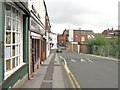
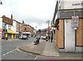
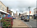
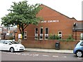
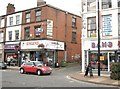
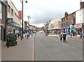
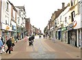
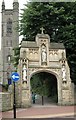
100 photos from this area
Area Information
Key information about the PR6 0BA including its size, population, and administrative classification.
- Area Type
- Postcode
- Area Size
- 1.9 hectares
- Population
- 1737
- Population Density
- 5305 people/km²
House Prices in PR6 0BA
44
Properties
£70,399
Average Sold Price
£15,642
Lowest Price
£125,000
Highest Price
Showing 44 properties
| Address | Type | Beds | Baths | Last Sale Price | Last Sale Date | |
|---|---|---|---|---|---|---|
| 67 Brown Street, Chorley, PR6 0BA | house | - | - | £125,000 | Dec 2022 | |
| 62 Brown Street, Chorley, PR6 0BA | Semi-detached | 3 | 1 | £103,000 | Jul 2022 | |
| 61 Brown Street, Chorley, PR6 0BA | house | - | - | £114,000 | Nov 2021 | |
| 82 Brown Street, Chorley, PR6 0BA | house | - | - | £67,870 | May 2011 | |
| 53 Brown Street, Chorley, PR6 0BA | house | - | - | £100,000 | Nov 2008 | |
| 70 Brown Street, Chorley, PR6 0BA | Semi-detached | - | - | £105,000 | Sep 2007 | |
| 58 Brown Street, Chorley, PR6 0BA | Semi-detached | - | - | £40,425 | Dec 2004 | |
| 63 Brown Street, Chorley, PR6 0BA | Semi-detached | - | - | £79,000 | Jan 2004 | |
| 60 Brown Street, Chorley, PR6 0BA | Semi-detached | - | - | £52,000 | Nov 2002 | |
| 27 Brown Street, Chorley, PR6 0BA | Terraced | - | - | £15,642 | Jan 2001 |
Page 1 of 5
Energy Efficiency in PR6 0BA
Amenities
Schools
| Rank | School | Type | Entry gender | Ages |
|---|
Explore more schools in this area
Go to Schools tabDemographics
Household Size
One person
most common
Accommodation Type
Houses
most common
Tenure
38
majority
Ethnic Group
White
most common
Religion
N/A
most common
Household Composition
N/A
most common
Age
47
median
Adults (30-64 years)
most common
Household Deprivation
N/A
with no deprivation
NS-SEC
17
in Lower managerial occupations
Explore more demographic insights in this area
Go to Demographics tabPlanning
Planning Constraints
- Flood RiskPremium
- Ramsar Wetland SitesPremium
- Area of Outstanding Natural BeautyPremium
- Protected Nature ReservePremium
- Protected WoodlandPremium