Area Overview for PR5 6RR
Photos of PR5 6RR
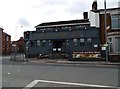
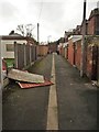
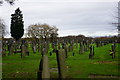
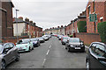
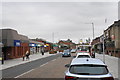
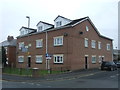
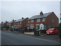
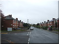
36 photos from this area
Area Information
Key information about the PR5 6RR including its size, population, and administrative classification.
- Area Type
- Postcode
- Area Size
- 7549 m²
- Population
- 1951
- Population Density
- 2578 people/km²
House Prices in PR5 6RR
18
Properties
£85,192
Average Sold Price
£35,000
Lowest Price
£170,000
Highest Price
Showing 18 properties
| Address | Type | Beds | Baths | Last Sale Price | Last Sale Date | |
|---|---|---|---|---|---|---|
| 60 Brindle Road, Bamber Bridge, PR5 6RR | Terraced | 3 | 1 | £170,000 | Jun 2025 | |
| 64 Brindle Road, Bamber Bridge, PR5 6RR | Terraced | 3 | 1 | £121,000 | Jan 2021 | |
| 82 Brindle Road, Bamber Bridge, PR5 6RR | Semi-detached | 3 | - | £110,000 | Jan 2017 | |
| 62 Brindle Road, Bamber Bridge, PR5 6RR | Terraced | 3 | - | £113,000 | Apr 2016 | |
| 72 Brindle Road, Bamber Bridge, PR5 6RR | house | 3 | - | £112,500 | Jun 2010 | |
| 80 Brindle Road, Bamber Bridge, PR5 6RR | Semi-detached | 3 | 2 | £89,000 | Apr 2008 | |
| 66 Brindle Road, Bamber Bridge, PR5 6RR | house | 3 | 2 | £79,000 | Apr 2006 | |
| 58 Brindle Road, Bamber Bridge, PR5 6RR | Terraced | - | - | £112,000 | Mar 2006 | |
| 70 Brindle Road, Bamber Bridge, PR5 6RR | house | 3 | - | £35,000 | Feb 2002 | |
| 76 Brindle Road, Bamber Bridge, PR5 6RR | Terraced | - | - | £45,000 | Jan 1999 |
Page 1 of 2
Energy Efficiency in PR5 6RR
Amenities
Schools
| Rank | School | Type | Entry gender | Ages |
|---|
Explore more schools in this area
Go to Schools tabDemographics
Household Size
Family (3-5 people)
most common
Accommodation Type
Houses
most common
Tenure
67
majority
Ethnic Group
White
most common
Religion
N/A
most common
Household Composition
N/A
most common
Age
47
median
Adults (30-64 years)
most common
Household Deprivation
N/A
with no deprivation
NS-SEC
31
in Lower managerial occupations
Explore more demographic insights in this area
Go to Demographics tabPlanning
Planning Constraints
- Flood RiskPremium
- Ramsar Wetland SitesPremium
- Area of Outstanding Natural BeautyPremium
- Protected Nature ReservePremium
- Protected WoodlandPremium