Area Overview for PR5 5RY
Photos of PR5 5RY
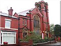
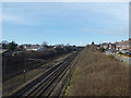
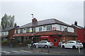
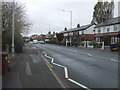
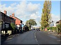
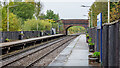
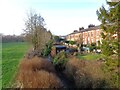
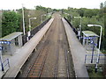
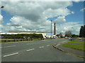
36 photos from this area
Area Information
Key information about the PR5 5RY including its size, population, and administrative classification.
- Area Type
- Postcode
- Area Size
- 3425 m²
- Population
- 2206
- Population Density
- 4653 people/km²
House Prices in PR5 5RY
20
Properties
£73,581
Average Sold Price
£24,500
Lowest Price
£131,000
Highest Price
Showing 20 properties
| Address | Type | Beds | Baths | Last Sale Price | Last Sale Date | |
|---|---|---|---|---|---|---|
| 436 Leyland Road, Lostock Hall, PR5 5RY | Terraced | 3 | 1 | £108,000 | Apr 2024 | |
| 448A Leyland Road, Lostock Hall, PR5 5RY | Flat | - | - | £131,000 | Sep 2022 | |
| 454A Leyland Road, Lostock Hall, PR5 5RY | Flat | 1 | 1 | £102,000 | Nov 2021 | |
| 434 Leyland Road, Lostock Hall, PR5 5RY | Terraced | 1 | 1 | £93,000 | Nov 2020 | |
| 432 Leyland Road, Lostock Hall, PR5 5RY | house | - | - | £109,000 | Jul 2014 | |
| 444A Leyland Road, Lostock Hall, PR5 5RY | Flat | - | - | £80,000 | Dec 2010 | |
| 440 Leyland Road, Lostock Hall, PR5 5RY | house | - | - | £49,000 | Jul 2002 | |
| 442 Leyland Road, Lostock Hall, PR5 5RY | Terraced | - | - | £40,395 | Apr 2001 | |
| 428 Leyland Road, Lostock Hall, PR5 5RY | Terraced | - | - | £40,500 | Oct 1997 | |
| 438 Leyland Road, Lostock Hall, PR5 5RY | Terraced | - | - | £24,500 | Aug 1997 |
Page 1 of 2
Energy Efficiency in PR5 5RY
Amenities
Schools
| Rank | School | Type | Entry gender | Ages |
|---|
Explore more schools in this area
Go to Schools tabDemographics
Household Size
Two person
most common
Accommodation Type
Houses
most common
Tenure
81
majority
Ethnic Group
White
most common
Religion
N/A
most common
Household Composition
N/A
most common
Age
47
median
Adults (30-64 years)
most common
Household Deprivation
N/A
with no deprivation
NS-SEC
32
in Lower managerial occupations
Explore more demographic insights in this area
Go to Demographics tabPlanning
Planning Constraints
- Flood RiskPremium
- Ramsar Wetland SitesPremium
- Area of Outstanding Natural BeautyPremium
- Protected Nature ReservePremium
- Protected WoodlandPremium