Area Overview for PR5 5JS
Photos of PR5 5JS
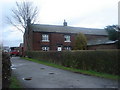
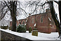
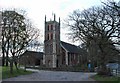
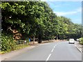
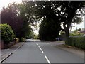
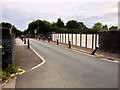
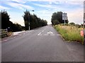

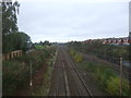
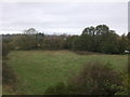
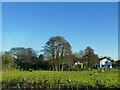
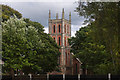
20 photos from this area
Area Information
Key information about the PR5 5JS including its size, population, and administrative classification.
- Area Type
- Postcode
- Area Size
- 7.6 hectares
- Population
- 1554
- Population Density
- 1041 people/km²
House Prices in PR5 5JS
26
Properties
£139,033
Average Sold Price
£41,995
Lowest Price
£245,000
Highest Price
Showing 26 properties
| Address | Type | Beds | Baths | Last Sale Price | Last Sale Date | |
|---|---|---|---|---|---|---|
| 14 School Lane, Lostock Hall, PR5 5JS | Semi-detached | 3 | 1 | £185,000 | Dec 2024 | |
| 3 School Lane, Lostock Hall, PR5 5JS | Semi-detached | 3 | 1 | £193,000 | Aug 2023 | |
| 4 School Lane, Lostock Hall, PR5 5JS | house | - | - | £147,500 | Mar 2021 | |
| 10 School Lane, Lostock Hall, PR5 5JS | Semi-detached | 3 | 1 | £121,500 | Feb 2020 | |
| 2 School Lane, Lostock Hall, PR5 5JS | Semi-detached | 3 | 1 | £157,500 | Aug 2018 | |
| 25 School Lane, Lostock Hall, PR5 5JS | Detached | 4 | - | £199,950 | Aug 2017 | |
| 8 School Lane, Lostock Hall, PR5 5JS | Semi-detached | 3 | - | £137,000 | May 2016 | |
| 21 School Lane, Lostock Hall, PR5 5JS | house | 4 | 3 | £230,000 | Sep 2015 | |
| 20 School Lane, Lostock Hall, PR5 5JS | Terraced | 2 | - | £90,000 | May 2014 | |
| 23 School Lane, Lostock Hall, PR5 5JS | Detached | 4 | 2 | £200,000 | Mar 2014 |
Page 1 of 3
Energy Efficiency in PR5 5JS
Amenities
Schools
| Rank | School | Type | Entry gender | Ages |
|---|
Explore more schools in this area
Go to Schools tabDemographics
Household Size
Two person
most common
Accommodation Type
Houses
most common
Tenure
73
majority
Ethnic Group
White
most common
Religion
N/A
most common
Household Composition
N/A
most common
Age
47
median
Adults (30-64 years)
most common
Household Deprivation
N/A
with no deprivation
NS-SEC
31
in Lower managerial occupations
Explore more demographic insights in this area
Go to Demographics tabPlanning
Planning Constraints
- Flood RiskPremium
- Ramsar Wetland SitesPremium
- Area of Outstanding Natural BeautyPremium
- Protected Nature ReservePremium
- Protected WoodlandPremium