Area Overview for PR5 4TE
Photos of PR5 4TE
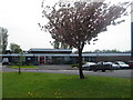
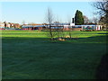
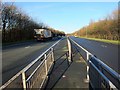
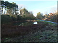
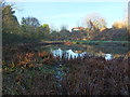
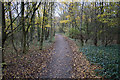

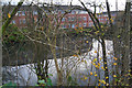
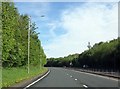
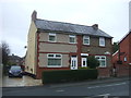
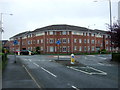
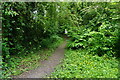
26 photos from this area
Area Information
Key information about the PR5 4TE including its size, population, and administrative classification.
- Area Type
- Postcode
- Area Size
- 1.4 hectares
- Population
- 1184
- Population Density
- 3858 people/km²
House Prices in PR5 4TE
44
Properties
£133,278
Average Sold Price
£51,950
Lowest Price
£216,000
Highest Price
Showing 44 properties
| Address | Type | Beds | Baths | Last Sale Price | Last Sale Date | |
|---|---|---|---|---|---|---|
| 4 Severn Drive, Walton Le Dale, PR5 4TE | Semi-detached | 3 | 1 | £155,000 | Jan 2024 | |
| 64 Severn Drive, Walton Le Dale, PR5 4TE | Semi-detached | 3 | 1 | £216,000 | Jul 2022 | |
| 10 Severn Drive, Walton Le Dale, PR5 4TE | Semi-detached | 3 | 1 | £205,000 | Jul 2022 | |
| 30 Severn Drive, Walton Le Dale, PR5 4TE | house | - | - | £197,000 | Sep 2021 | |
| 50 Severn Drive, Walton Le Dale, PR5 4TE | house | - | - | £205,000 | Aug 2021 | |
| 34 Severn Drive, Walton Le Dale, PR5 4TE | house | - | - | £155,000 | May 2021 | |
| 2 Severn Drive, Walton Le Dale, PR5 4TE | Semi-detached | 3 | 1 | £165,000 | Apr 2021 | |
| 40 Severn Drive, Walton Le Dale, PR5 4TE | Semi-detached | 3 | 1 | £159,000 | Oct 2019 | |
| 70 Severn Drive, Walton Le Dale, PR5 4TE | Semi-detached | 3 | 1 | £176,500 | Mar 2019 | |
| 48 Severn Drive, Walton Le Dale, PR5 4TE | Semi-detached | 3 | 1 | £140,000 | Feb 2019 |
Page 1 of 5
Energy Efficiency in PR5 4TE
Amenities
Schools
| Rank | School | Type | Entry gender | Ages |
|---|
Explore more schools in this area
Go to Schools tabDemographics
Household Size
Two person
most common
Accommodation Type
Houses
most common
Tenure
91
majority
Ethnic Group
White
most common
Religion
N/A
most common
Household Composition
N/A
most common
Age
47
median
Adults (30-64 years)
most common
Household Deprivation
N/A
with no deprivation
NS-SEC
32
in Lower managerial occupations
Explore more demographic insights in this area
Go to Demographics tabPlanning
Planning Constraints
- Flood RiskPremium
- Ramsar Wetland SitesPremium
- Area of Outstanding Natural BeautyPremium
- Protected Nature ReservePremium
- Protected WoodlandPremium