Area Overview for PR5 0BB
Photos of PR5 0BB
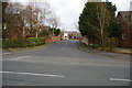
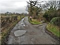
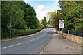
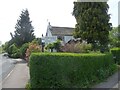
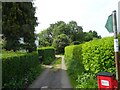
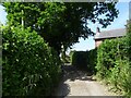
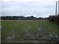
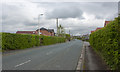
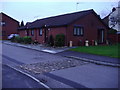
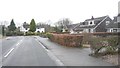
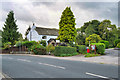
15 photos from this area
Area Information
Key information about the PR5 0BB including its size, population, and administrative classification.
- Area Type
- Postcode
- Area Size
- 4.1 hectares
- Population
- 1674
- Population Density
- 1244 people/km²
House Prices in PR5 0BB
26
Properties
£153,746
Average Sold Price
£50,000
Lowest Price
£285,000
Highest Price
Showing 26 properties
| Address | Type | Beds | Baths | Last Sale Price | Last Sale Date | |
|---|---|---|---|---|---|---|
| 9 Aldersleigh Crescent, Hoghton, Walton Le Dale, PR5 0BB | Bungalow | - | - | £230,000 | Jul 2025 | |
| 41 Aldersleigh Crescent, Hoghton, Walton Le Dale, PR5 0BB | Detached | 3 | 1 | £285,000 | May 2021 | |
| 15 Aldersleigh Crescent, Hoghton, Walton Le Dale, PR5 0BB | Bungalow | 3 | 1 | £185,000 | Sep 2020 | |
| 43 Aldersleigh Crescent, Hoghton, Walton Le Dale, PR5 0BB | Bungalow | 3 | 1 | £185,000 | Feb 2018 | |
| 33 Aldersleigh Crescent, Hoghton, Walton Le Dale, PR5 0BB | Bungalow | 3 | - | £152,000 | Dec 2014 | |
| 27 Aldersleigh Crescent, Hoghton, Walton Le Dale, PR5 0BB | Bungalow | 3 | 1 | £157,000 | Nov 2014 | |
| 17 Aldersleigh Crescent, Hoghton, Walton Le Dale, PR5 0BB | Semi-detached | 3 | - | £150,000 | Oct 2014 | |
| 7 Aldersleigh Crescent, Hoghton, Walton Le Dale, PR5 0BB | Bungalow | 3 | - | £160,000 | Sep 2011 | |
| 31 Aldersleigh Crescent, Hoghton, Walton Le Dale, PR5 0BB | Semi-detached | - | - | £143,000 | Sep 2003 | |
| 11 Aldersleigh Crescent, Hoghton, Walton Le Dale, PR5 0BB | Semi-detached | - | - | £70,000 | Dec 1998 |
Page 1 of 3
Energy Efficiency in PR5 0BB
Amenities
Schools
| Rank | School | Type | Entry gender | Ages |
|---|
Explore more schools in this area
Go to Schools tabDemographics
Household Size
Two person
most common
Accommodation Type
Houses
most common
Tenure
84
majority
Ethnic Group
White
most common
Religion
N/A
most common
Household Composition
N/A
most common
Age
47
median
Adults (30-64 years)
most common
Household Deprivation
N/A
with no deprivation
NS-SEC
35
in Lower managerial occupations
Explore more demographic insights in this area
Go to Demographics tabPlanning
Planning Constraints
- Flood RiskPremium
- Ramsar Wetland SitesPremium
- Area of Outstanding Natural BeautyPremium
- Protected Nature ReservePremium
- Protected WoodlandPremium