Area Overview for PR4 6XT
Photos of PR4 6XT
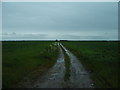
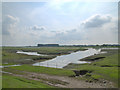
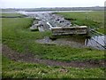
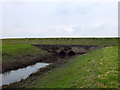
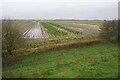
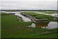
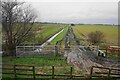
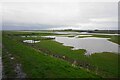
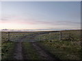
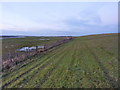
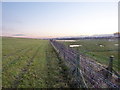
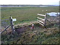
15 photos from this area
Area Information
Key information about the PR4 6XT including its size, population, and administrative classification.
- Area Type
- Postcode
- Area Size
- 89.0 hectares
- Population
- 1471
- Population Density
- 101 people/km²
House Prices in PR4 6XT
14
Properties
£341,417
Average Sold Price
£180,000
Lowest Price
£511,500
Highest Price
Showing 14 properties
| Address | Type | Beds | Baths | Last Sale Price | Last Sale Date | |
|---|---|---|---|---|---|---|
| Rosedale, Marsh Road, Hesketh Bank, PR4 6XT | Bungalow | - | - | £285,000 | Mar 2021 | |
| Primrose Farm, Marsh Road, Hesketh Bank, PR4 6XT | Farm | 5 | 2 | £417,000 | Mar 2019 | |
| Sunnydale Farm, Marsh Road, Hesketh Bank, PR4 6XT | Detached | 5 | 3 | £511,500 | Oct 2018 | |
| Riversdale, Marsh Road, Hesketh Bank, PR4 6XT | house | - | - | £365,000 | May 2018 | |
| Primrose Barn, Marsh Road, Hesketh Bank, PR4 6XT | Detached | 3 | 2 | £289,999 | May 2005 | |
| Whitecroft, Marsh Road, Hesketh Bank, PR4 6XT | Detached | - | - | £180,000 | Oct 2002 | |
| Marsh Farm, Marsh Road, Hesketh Bank, PR4 6XT | Farm | - | - | - | - | |
| Land East Of, Guide Road, Hesketh Bank, PR4 6XT | Farm | - | - | - | - | |
| Caravan, Marsh Road Nurseries, Marsh Road, Hesketh Bank, PR4 6XT | Mobile Home | - | - | - | - | |
| Green Bank Farm, Marsh Road, Hesketh Bank, PR4 6XT | Detached | - | - | - | - |
Page 1 of 2
Energy Efficiency in PR4 6XT
Amenities
Schools
| Rank | School | Type | Entry gender | Ages |
|---|
Explore more schools in this area
Go to Schools tabDemographics
Household Size
Family (3-5 people)
most common
Accommodation Type
Houses
most common
Tenure
89
majority
Ethnic Group
White
most common
Religion
N/A
most common
Household Composition
N/A
most common
Age
47
median
Adults (30-64 years)
most common
Household Deprivation
N/A
with no deprivation
NS-SEC
39
in Lower managerial occupations
Explore more demographic insights in this area
Go to Demographics tabPlanning
Planning Constraints
- Flood RiskPremium
- Ramsar Wetland SitesPremium
- Area of Outstanding Natural BeautyPremium
- Protected Nature ReservePremium
- Protected WoodlandPremium