Area Overview for PR4 5WD
Photos of PR4 5WD
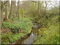
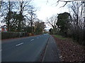
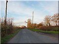
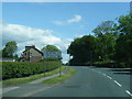
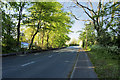
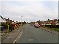
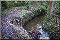
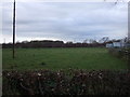
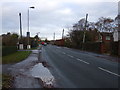
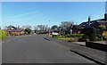
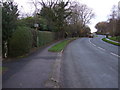
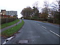
13 photos from this area
Area Information
Key information about the PR4 5WD including its size, population, and administrative classification.
- Area Type
- Postcode
- Area Size
- 3.1 hectares
- Population
- 1336
- Population Density
- 153 people/km²
House Prices in PR4 5WD
25
Properties
£190,564
Average Sold Price
£40,000
Lowest Price
£282,500
Highest Price
Showing 25 properties
| Address | Type | Beds | Baths | Last Sale Price | Last Sale Date | |
|---|---|---|---|---|---|---|
| 59 Franklands, Longton, PR4 5WD | Detached | 3 | 1 | £247,500 | May 2025 | |
| 60 Franklands, Longton, PR4 5WD | Semi-detached | 2 | 1 | £223,000 | Jan 2025 | |
| 62 Franklands, Longton, PR4 5WD | Bungalow | - | - | £282,500 | Feb 2023 | |
| 72 Franklands, Longton, PR4 5WD | Retail | 3 | 1 | £205,000 | Oct 2022 | |
| 80 Franklands, Longton, PR4 5WD | Bungalow | 2 | 1 | £234,000 | Jan 2021 | |
| 86 Franklands, Longton, PR4 5WD | Bungalow | 3 | 2 | £278,000 | Aug 2020 | |
| 57 Franklands, Longton, PR4 5WD | house | - | - | £220,000 | Aug 2016 | |
| 78 Franklands, Longton, PR4 5WD | Bungalow | 3 | - | £180,000 | Jul 2015 | |
| 82 Franklands, Longton, PR4 5WD | Bungalow | - | - | £233,000 | Oct 2012 | |
| 53 Franklands, Longton, PR4 5WD | house | 3 | - | £219,950 | Jul 2007 |
Page 1 of 3
Energy Efficiency in PR4 5WD
Amenities
Schools
| Rank | School | Type | Entry gender | Ages |
|---|
Explore more schools in this area
Go to Schools tabDemographics
Household Size
Two person
most common
Accommodation Type
Houses
most common
Tenure
90
majority
Ethnic Group
White
most common
Religion
N/A
most common
Household Composition
N/A
most common
Age
47
median
Adults (30-64 years)
most common
Household Deprivation
N/A
with no deprivation
NS-SEC
40
in Lower managerial occupations
Explore more demographic insights in this area
Go to Demographics tabPlanning
Planning Constraints
- Flood RiskPremium
- Ramsar Wetland SitesPremium
- Area of Outstanding Natural BeautyPremium
- Protected Nature ReservePremium
- Protected WoodlandPremium