Area Overview for PR4 5FE
Photos of PR4 5FE
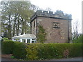
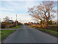
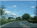
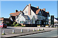
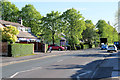
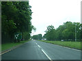
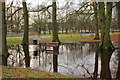
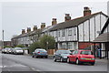
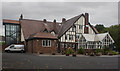
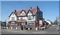
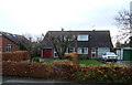
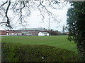
14 photos from this area
Area Information
Key information about the PR4 5FE including its size, population, and administrative classification.
- Area Type
- Postcode
- Area Size
- 4.0 hectares
- Population
- 1445
- Population Density
- 539 people/km²
House Prices in PR4 5FE
50
Properties
£321,867
Average Sold Price
£65,000
Lowest Price
£750,000
Highest Price
Showing 50 properties
| Address | Type | Beds | Baths | Last Sale Price | Last Sale Date | |
|---|---|---|---|---|---|---|
| 219 Liverpool Road, Hutton, PR4 5FE | house | - | - | £650,000 | Feb 2025 | |
| 185 Liverpool Road, Hutton, PR4 5FE | Semi-detached | 3 | 1 | £299,950 | Dec 2024 | |
| 235 Liverpool Road, Hutton, PR4 5FE | house | - | - | £750,000 | May 2023 | |
| 233 Liverpool Road, Hutton, PR4 5FE | Detached | 5 | 2 | £684,000 | Apr 2023 | |
| 227 Liverpool Road, Hutton, PR4 5FE | Detached | 7 | 3 | £675,000 | Apr 2023 | |
| 197 Liverpool Road, Hutton, PR4 5FE | Retail | 3 | 1 | £315,000 | Sep 2022 | |
| 225 Liverpool Road, Hutton, PR4 5FE | Bungalow | 3 | 3 | £448,995 | May 2022 | |
| 183 Liverpool Road, Hutton, PR4 5FE | house | - | - | £277,500 | Feb 2021 | |
| 163A Liverpool Road, Hutton, PR4 5FE | Flat | - | - | £118,000 | Dec 2020 | |
| 165A Liverpool Road, Hutton, PR4 5FE | Flat | 2 | 1 | £125,000 | Sep 2019 |
Page 1 of 5
Energy Efficiency in PR4 5FE
Amenities
Schools
| Rank | School | Type | Entry gender | Ages |
|---|
Explore more schools in this area
Go to Schools tabDemographics
Household Size
Two person
most common
Accommodation Type
Houses
most common
Tenure
91
majority
Ethnic Group
White
most common
Religion
N/A
most common
Household Composition
N/A
most common
Age
47
median
Adults (30-64 years)
most common
Household Deprivation
N/A
with no deprivation
NS-SEC
42
in Lower managerial occupations
Explore more demographic insights in this area
Go to Demographics tabPlanning
Planning Constraints
- Flood RiskPremium
- Ramsar Wetland SitesPremium
- Area of Outstanding Natural BeautyPremium
- Protected Nature ReservePremium
- Protected WoodlandPremium