Area Overview for PR4 4ZD
Photos of PR4 4ZD

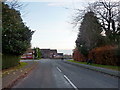
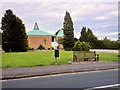
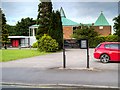
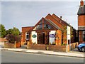
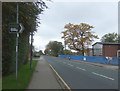
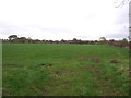
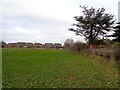
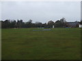
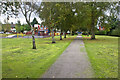
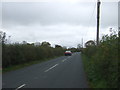
11 photos from this area
Area Information
Key information about the PR4 4ZD including its size, population, and administrative classification.
- Area Type
- Postcode
- Area Size
- 7098 m²
- Population
- 1608
- Population Density
- 418 people/km²
House Prices in PR4 4ZD
15
Properties
£169,727
Average Sold Price
£53,250
Lowest Price
£550,000
Highest Price
Showing 15 properties
| Address | Type | Beds | Baths | Last Sale Price | Last Sale Date | |
|---|---|---|---|---|---|---|
| 86 Station Road, New Longton, PR4 4ZD | Semi-detached | 3 | 2 | £270,000 | May 2024 | |
| 70 Station Road, New Longton, PR4 4ZD | Bungalow | - | - | £137,500 | Mar 2018 | |
| The Sheilings, 56 Station Road, New Longton, PR4 4ZD | Detached | 6 | 2 | £550,000 | Feb 2015 | |
| 80 Station Road, New Longton, PR4 4ZD | house | - | - | £178,000 | Jan 2007 | |
| 76 Station Road, New Longton, PR4 4ZD | Semi-detached | - | - | £214,000 | Aug 2006 | |
| 62 Station Road, New Longton, PR4 4ZD | Semi-detached | - | - | £148,000 | Feb 2006 | |
| 68 Station Road, New Longton, PR4 4ZD | Semi-detached | - | - | £66,000 | Aug 2004 | |
| 84 Station Road, New Longton, PR4 4ZD | Semi-detached | 3 | 1 | £120,000 | Jan 2003 | |
| 64 Station Road, New Longton, PR4 4ZD | Semi-detached | - | - | £56,300 | Feb 2000 | |
| 82 Station Road, New Longton, PR4 4ZD | Semi-detached | - | - | £73,950 | Jul 1999 |
Page 1 of 2
Energy Efficiency in PR4 4ZD
Amenities
Schools
| Rank | School | Type | Entry gender | Ages |
|---|
Explore more schools in this area
Go to Schools tabDemographics
Household Size
Two person
most common
Accommodation Type
Houses
most common
Tenure
87
majority
Ethnic Group
White
most common
Religion
N/A
most common
Household Composition
N/A
most common
Age
47
median
Adults (30-64 years)
most common
Household Deprivation
N/A
with no deprivation
NS-SEC
41
in Lower managerial occupations
Explore more demographic insights in this area
Go to Demographics tabPlanning
Planning Constraints
- Flood RiskPremium
- Ramsar Wetland SitesPremium
- Area of Outstanding Natural BeautyPremium
- Protected Nature ReservePremium
- Protected WoodlandPremium