Area Overview for PR4 4GJ
Photos of PR4 4GJ


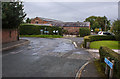
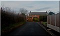
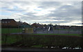
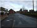
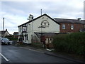
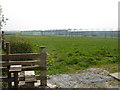
13 photos from this area
Area Information
Key information about the PR4 4GJ including its size, population, and administrative classification.
- Area Type
- Postcode
- Area Size
- 77.8 hectares
- Population
- 2302
- Population Density
- 236 people/km²
House Prices in PR4 4GJ
64
Properties
£402,415
Average Sold Price
£22,000
Lowest Price
£1,267,500
Highest Price
Showing 64 properties
| Address | Type | Beds | Baths | Last Sale Price | Last Sale Date | |
|---|---|---|---|---|---|---|
| 12 Town Lane, Much Hoole, PR4 4GJ | Bungalow | - | - | £1,030,000 | Mar 2025 | |
| 14 Town Lane, Much Hoole, PR4 4GJ | Detached | - | - | £850,000 | Feb 2024 | |
| Fern Bank, Town Lane, Much Hoole, PR4 4GJ | house | 3 | 1 | £975,000 | May 2023 | |
| 15 Town Lane, Much Hoole, PR4 4GJ | Bungalow | 3 | 1 | £420,000 | Mar 2023 | |
| Rose Cottage, Town Lane, Much Hoole, PR4 4GJ | Cottage | 2 | 1 | £250,000 | Aug 2021 | |
| 17 Town Lane, Much Hoole, PR4 4GJ | house | - | - | £275,000 | Jun 2021 | |
| Plum Farm, Town Lane, Much Hoole, PR4 4GJ | house | - | - | £400,000 | Dec 2020 | |
| Apple Tree Barn, Town Lane, Much Hoole, PR4 4GJ | Detached | 4 | 2 | £497,500 | May 2020 | |
| Lynegarth, 29 Town Lane, Much Hoole, PR4 4GJ | Cottage | 2 | 1 | £93,334 | Jul 2019 | |
| The Cottage, Town Lane, Much Hoole, PR4 4GJ | house | - | - | £365,000 | Jan 2019 |
Page 1 of 7
Energy Efficiency in PR4 4GJ
Amenities
Schools
| Rank | School | Type | Entry gender | Ages |
|---|
Explore more schools in this area
Go to Schools tabDemographics
Household Size
Two person
most common
Accommodation Type
Houses
most common
Tenure
87
majority
Ethnic Group
White
most common
Religion
N/A
most common
Household Composition
N/A
most common
Age
47
median
Adults (30-64 years)
most common
Household Deprivation
N/A
with no deprivation
NS-SEC
38
in Lower managerial occupations
Explore more demographic insights in this area
Go to Demographics tabPlanning
Planning Constraints
- Flood RiskPremium
- Ramsar Wetland SitesPremium
- Area of Outstanding Natural BeautyPremium
- Protected Nature ReservePremium
- Protected WoodlandPremium