Area Overview for PR4 2SP
Photos of PR4 2SP
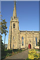
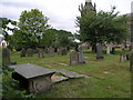
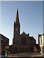
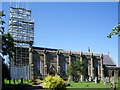
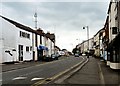
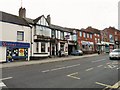
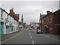
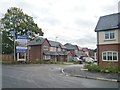
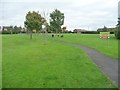
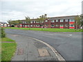
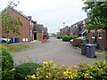
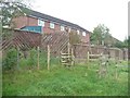
77 photos from this area
Area Information
Key information about the PR4 2SP including its size, population, and administrative classification.
- Area Type
- Postcode
- Area Size
- 5579 m²
- Population
- 1538
- Population Density
- 7291 people/km²
House Prices in PR4 2SP
35
Properties
£92,925
Average Sold Price
£24,000
Lowest Price
£175,000
Highest Price
Showing 35 properties
| Address | Type | Beds | Baths | Last Sale Price | Last Sale Date | |
|---|---|---|---|---|---|---|
| 82 Freckleton Street, Kirkham, PR4 2SP | Flat | - | - | £86,750 | Dec 2023 | |
| 58 Freckleton Street, Kirkham, PR4 2SP | Terraced | 2 | 1 | £122,500 | Sep 2023 | |
| 80 Freckleton Street, Kirkham, PR4 2SP | Flat | 2 | 1 | £80,000 | Nov 2022 | |
| 76 Freckleton Street, Kirkham, PR4 2SP | house | - | - | £175,000 | Nov 2021 | |
| 22 Freckleton Street, Kirkham, PR4 2SP | Terraced | 2 | 1 | £127,000 | Sep 2019 | |
| 24 Freckleton Street, Kirkham, PR4 2SP | house | - | - | £127,000 | Sep 2019 | |
| 26 Freckleton Street, Kirkham, PR4 2SP | house | - | - | £127,000 | Aug 2019 | |
| 14 Freckleton Street, Kirkham, PR4 2SP | Semi-detached | 3 | 1 | £106,000 | Apr 2018 | |
| 86 Freckleton Street, Kirkham, PR4 2SP | Flat | - | - | £62,000 | Jan 2015 | |
| 80A Freckleton Street, Kirkham, PR4 2SP | Terraced | 3 | - | £70,000 | Aug 2013 |
Page 1 of 4
Energy Efficiency in PR4 2SP
Amenities
Schools
| Rank | School | Type | Entry gender | Ages |
|---|
Explore more schools in this area
Go to Schools tabDemographics
Household Size
One person
most common
Accommodation Type
Houses
most common
Tenure
47
majority
Ethnic Group
White
most common
Religion
N/A
most common
Household Composition
N/A
most common
Age
47
median
Adults (30-64 years)
most common
Household Deprivation
N/A
with no deprivation
NS-SEC
20
in Lower managerial occupations
Explore more demographic insights in this area
Go to Demographics tabPlanning
Planning Constraints
- Flood RiskPremium
- Ramsar Wetland SitesPremium
- Area of Outstanding Natural BeautyPremium
- Protected Nature ReservePremium
- Protected WoodlandPremium