Area Overview for PR4 1AH
Photos of PR4 1AH
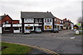
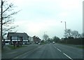
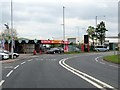
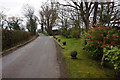
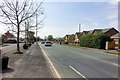

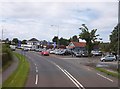
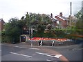

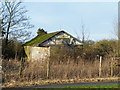
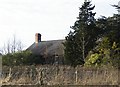
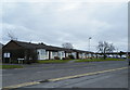
29 photos from this area
Area Information
Key information about the PR4 1AH including its size, population, and administrative classification.
- Area Type
- Postcode
- Area Size
- 5.8 hectares
- Population
- 2592
- Population Density
- 219 people/km²
House Prices in PR4 1AH
37
Properties
£134,544
Average Sold Price
£44,000
Lowest Price
£345,000
Highest Price
Showing 37 properties
| Address | Type | Beds | Baths | Last Sale Price | Last Sale Date | |
|---|---|---|---|---|---|---|
| 168 Lytham Road, Bryning With Warton, PR4 1AH | house | - | - | £205,000 | Nov 2025 | |
| 232 Lytham Road, Bryning With Warton, PR4 1AH | Bungalow | 3 | 2 | £345,000 | Apr 2025 | |
| 176 Lytham Road, Bryning With Warton, PR4 1AH | Semi-detached | 2 | 1 | £110,000 | May 2024 | |
| 204 Lytham Road, Bryning With Warton, PR4 1AH | house | - | - | £220,000 | Oct 2020 | |
| 206 Lytham Road, Bryning With Warton, PR4 1AH | house | 3 | - | £145,000 | Mar 2019 | |
| 212 Lytham Road, Bryning With Warton, PR4 1AH | Detached | 4 | 3 | £156,250 | Jan 2019 | |
| 228 Lytham Road, Bryning With Warton, PR4 1AH | Semi-detached | 3 | 1 | £171,500 | Dec 2017 | |
| 216 Lytham Road, Bryning With Warton, PR4 1AH | Semi-detached | 4 | 2 | £100,000 | Nov 2015 | |
| 172 Lytham Road, Bryning With Warton, PR4 1AH | Semi-detached | 3 | 1 | £147,500 | Nov 2015 | |
| 164 Lytham Road, Bryning With Warton, PR4 1AH | Bungalow | 3 | 1 | £77,090 | Mar 2015 |
Page 1 of 4
Energy Efficiency in PR4 1AH
Amenities
Schools
| Rank | School | Type | Entry gender | Ages |
|---|
Explore more schools in this area
Go to Schools tabDemographics
Household Size
Two person
most common
Accommodation Type
Houses
most common
Tenure
81
majority
Ethnic Group
White
most common
Religion
N/A
most common
Household Composition
N/A
most common
Age
47
median
Adults (30-64 years)
most common
Household Deprivation
N/A
with no deprivation
NS-SEC
35
in Lower managerial occupations
Explore more demographic insights in this area
Go to Demographics tabPlanning
Planning Constraints
- Flood RiskPremium
- Ramsar Wetland SitesPremium
- Area of Outstanding Natural BeautyPremium
- Protected Nature ReservePremium
- Protected WoodlandPremium