Area Overview for PR4 0RN
Photos of PR4 0RN
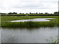
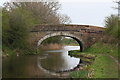
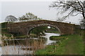
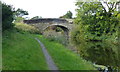
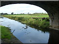
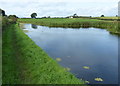
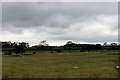
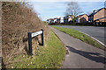
22 photos from this area
Area Information
Key information about the PR4 0RN including its size, population, and administrative classification.
- Area Type
- Postcode
- Area Size
- 1.6 km²
- Population
- 1751
- Population Density
- 57 people/km²
House Prices in PR4 0RN
30
Properties
£282,317
Average Sold Price
£249,950
Lowest Price
£314,000
Highest Price
Showing 30 properties
| Address | Type | Beds | Baths | Last Sale Price | Last Sale Date | |
|---|---|---|---|---|---|---|
| Woodlea House, Lea Lane, Preston, PR4 0RN | Detached | 4 | 2 | £283,000 | Jul 2012 | |
| Cosy Nook, Lea Lane, Preston, PR4 0RN | Detached | 4 | 2 | £314,000 | Jul 2012 | |
| Woodfield, Lea Lane, Preston, PR4 0RN | Bungalow | 3 | 2 | £249,950 | Dec 2011 | |
| Windrush, Lea Lane, Preston, PR4 0RN | Detached | 3 | 2 | - | - | |
| 1, Moor Hey, Lea Lane, Preston, PR4 0RN | Land | 4 | - | - | - | |
| 2, Moor Hey, Lea Lane, Preston, PR4 0RN | Semi-detached | 3 | - | - | - | |
| Bryars Farm, Lea Lane, Preston, PR4 0RN | Semi-detached | - | - | - | - | |
| M Platt Tree Services, Moor Hey, Lea Lane, Preston, PR4 0RN | shop | - | - | - | - | |
| Pine Trees, Lea Lane, Preston, PR4 0RN | Detached | 5 | 3 | - | - | |
| Unit 3, Chamley Fields Rural Business Park, Lea Lane, Preston, PR4 0RN | Industrial | - | - | - | - |
Page 1 of 3
Energy Efficiency in PR4 0RN
Amenities
Schools
| Rank | School | Type | Entry gender | Ages |
|---|
Explore more schools in this area
Go to Schools tabDemographics
Household Size
Two person
most common
Accommodation Type
Houses
most common
Tenure
78
majority
Ethnic Group
White
most common
Religion
N/A
most common
Household Composition
N/A
most common
Age
47
median
Adults (30-64 years)
most common
Household Deprivation
N/A
with no deprivation
NS-SEC
42
in Lower managerial occupations
Explore more demographic insights in this area
Go to Demographics tabPlanning
Planning Constraints
- Flood RiskPremium
- Ramsar Wetland SitesPremium
- Area of Outstanding Natural BeautyPremium
- Protected Nature ReservePremium
- Protected WoodlandPremium