Area Overview for PR4 0BW
Photos of PR4 0BW
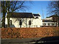
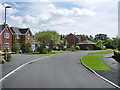
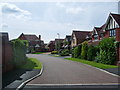
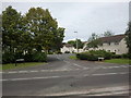
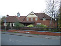


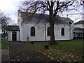
18 photos from this area
Area Information
Key information about the PR4 0BW including its size, population, and administrative classification.
- Area Type
- Postcode
- Area Size
- 4672 m²
- Population
- 1277
- Population Density
- 2944 people/km²
House Prices in PR4 0BW
11
Properties
£202,127
Average Sold Price
£77,950
Lowest Price
£380,000
Highest Price
Showing 11 properties
| Address | Type | Beds | Baths | Last Sale Price | Last Sale Date | |
|---|---|---|---|---|---|---|
| 11 Cornfield, Preston, PR4 0BW | Detached | 4 | 2 | £282,000 | Dec 2022 | |
| 2 Cornfield, Preston, PR4 0BW | house | - | - | £291,000 | Aug 2020 | |
| 7 Cornfield, Preston, PR4 0BW | Detached | 4 | 3 | £310,000 | Mar 2018 | |
| 6 Cornfield, Preston, PR4 0BW | Detached | 3 | 3 | £210,000 | Oct 2017 | |
| 5 Cornfield, Preston, PR4 0BW | Detached | 4 | 2 | £241,000 | Aug 2009 | |
| 8 Cornfield, Preston, PR4 0BW | Detached | - | - | £380,000 | May 2005 | |
| 3 Cornfield, Preston, PR4 0BW | Detached | - | - | £119,000 | Sep 2002 | |
| 13 Cornfield, Preston, PR4 0BW | Detached | - | - | £129,950 | Mar 2002 | |
| 4 Cornfield, Preston, PR4 0BW | Detached | - | - | £86,500 | Mar 1997 | |
| 1 Cornfield, Preston, PR4 0BW | Detached | - | - | £77,950 | Jun 1995 |
Page 1 of 2
Energy Efficiency in PR4 0BW
Amenities
Schools
| Rank | School | Type | Entry gender | Ages |
|---|
Explore more schools in this area
Go to Schools tabDemographics
Household Size
Family (3-5 people)
most common
Accommodation Type
Houses
most common
Tenure
91
majority
Ethnic Group
White
most common
Religion
N/A
most common
Household Composition
N/A
most common
Age
47
median
Adults (30-64 years)
most common
Household Deprivation
N/A
with no deprivation
NS-SEC
50
in Lower managerial occupations
Explore more demographic insights in this area
Go to Demographics tabPlanning
Planning Constraints
- Flood RiskPremium
- Ramsar Wetland SitesPremium
- Area of Outstanding Natural BeautyPremium
- Protected Nature ReservePremium
- Protected WoodlandPremium