Area Overview for PR3 6TN
Photos of PR3 6TN
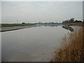
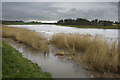
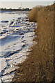
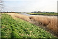
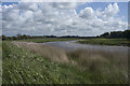
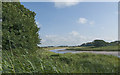
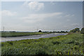
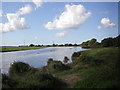
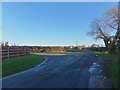
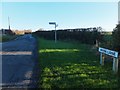
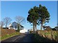
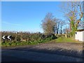
24 photos from this area
Area Information
Key information about the PR3 6TN including its size, population, and administrative classification.
- Area Type
- Postcode
- Area Size
- 82.1 hectares
- Population
- 2527
- Population Density
- 68 people/km²
House Prices in PR3 6TN
15
Properties
£346,990
Average Sold Price
£189,950
Lowest Price
£695,000
Highest Price
Showing 15 properties
| Address | Type | Beds | Baths | Last Sale Price | Last Sale Date | |
|---|---|---|---|---|---|---|
| Hobgrumble Ghyll, Town End, Out Rawcliffe, PR3 6TN | Detached | 4 | 3 | £695,000 | Mar 2019 | |
| Thorburn Cottage, Town End, Out Rawcliffe, PR3 6TN | Cottage | 3 | - | £189,950 | Aug 2014 | |
| Four Gates, Town End, Out Rawcliffe, PR3 6TN | house | - | - | £235,000 | Mar 2006 | |
| Yew Tree Barn, Town End, Out Rawcliffe, PR3 6TN | Detached | - | - | £340,000 | Jul 2003 | |
| Waters Reach, Town End, Out Rawcliffe, PR3 6TN | house | - | - | £275,000 | Oct 2001 | |
| 2, Town End Cottage, Town End, Out Rawcliffe, PR3 6TN | house | 2 | 1 | - | - | |
| 5, Town End Cottage, Town End, Out Rawcliffe, PR3 6TN | Cottage | 4 | 3 | - | - | |
| Caravan, Yew Tree Barn, Town End, Out Rawcliffe, PR3 6TN | Mobile Home | - | - | - | - | |
| Caravan Rear Of Four Gates, Town End, Out Rawcliffe, PR3 6TN | Mobile Home | - | - | - | - | |
| 1, Town End Cottage, Town End, Out Rawcliffe, PR3 6TN | house | - | - | - | - |
Page 1 of 2
Energy Efficiency in PR3 6TN
Amenities
Schools
| Rank | School | Type | Entry gender | Ages |
|---|
Explore more schools in this area
Go to Schools tabDemographics
Household Size
Two person
most common
Accommodation Type
Houses
most common
Tenure
78
majority
Ethnic Group
White
most common
Religion
N/A
most common
Household Composition
N/A
most common
Age
47
median
Adults (30-64 years)
most common
Household Deprivation
N/A
with no deprivation
NS-SEC
40
in Lower managerial occupations
Explore more demographic insights in this area
Go to Demographics tabPlanning
Planning Constraints
- Flood RiskPremium
- Ramsar Wetland SitesPremium
- Area of Outstanding Natural BeautyPremium
- Protected Nature ReservePremium
- Protected WoodlandPremium