Area Overview for PR3 6HL
Photos of PR3 6HL
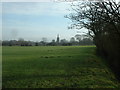
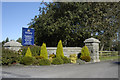
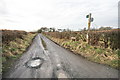
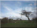
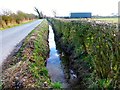
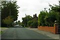
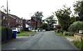
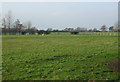
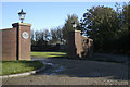
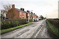
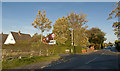
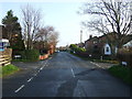
15 photos from this area
Area Information
Key information about the PR3 6HL including its size, population, and administrative classification.
- Area Type
- Postcode
- Area Size
- 68.6 hectares
- Population
- 2628
- Population Density
- 75 people/km²
House Prices in PR3 6HL
36
Properties
£300,675
Average Sold Price
£130,000
Lowest Price
£866,500
Highest Price
Showing 36 properties
| Address | Type | Beds | Baths | Last Sale Price | Last Sale Date | |
|---|---|---|---|---|---|---|
| Sandside Farm, Wheel Lane, Pilling, PR3 6HL | house | - | - | £775,375 | Feb 2022 | |
| 2, Mayfield, Wheel Lane, Pilling, PR3 6HL | Semi-detached | 2 | - | £175,000 | Jan 2022 | |
| Leola, Wheel Lane, Pilling, PR3 6HL | house | - | - | £866,500 | Sep 2021 | |
| 2, Fern Bank, Wheel Lane, Pilling, PR3 6HL | house | - | - | £275,000 | Mar 2021 | |
| Rushmere, Wheel Lane, Pilling, PR3 6HL | Bungalow | 3 | 1 | £171,250 | Sep 2020 | |
| Apple Tree Cottage, Wheel Lane, Pilling, PR3 6HL | Bungalow | - | - | £315,000 | Apr 2019 | |
| 1, Fern Bank, Wheel Lane, Pilling, PR3 6HL | house | - | - | £165,000 | Apr 2019 | |
| 3, Springfield Barn, Wheel Lane, Pilling, PR3 6HL | Semi-detached | 4 | 3 | £342,500 | Feb 2019 | |
| 1, Mayfield, Wheel Lane, Pilling, PR3 6HL | house | - | - | £166,000 | Oct 2016 | |
| Bimsons Cottage, Wheel Lane, Pilling, PR3 6HL | house | - | - | £250,000 | Mar 2015 |
Page 1 of 4
Energy Efficiency in PR3 6HL
Amenities
Schools
| Rank | School | Type | Entry gender | Ages |
|---|
Explore more schools in this area
Go to Schools tabDemographics
Household Size
Two person
most common
Accommodation Type
Houses
most common
Tenure
82
majority
Ethnic Group
White
most common
Religion
N/A
most common
Household Composition
N/A
most common
Age
47
median
Adults (30-64 years)
most common
Household Deprivation
N/A
with no deprivation
NS-SEC
34
in Lower managerial occupations
Explore more demographic insights in this area
Go to Demographics tabPlanning
Planning Constraints
- Flood RiskPremium
- Ramsar Wetland SitesPremium
- Area of Outstanding Natural BeautyPremium
- Protected Nature ReservePremium
- Protected WoodlandPremium