Area Overview for PR3 6AR
Photos of PR3 6AR
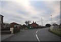
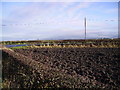
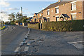
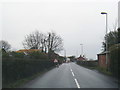
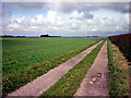
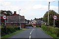
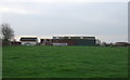
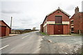
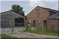
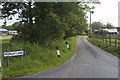
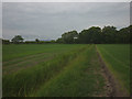
15 photos from this area
Area Information
Key information about the PR3 6AR including its size, population, and administrative classification.
- Area Type
- Postcode
- Area Size
- 98.6 hectares
- Population
- 2628
- Population Density
- 75 people/km²
House Prices in PR3 6AR
25
Properties
£187,038
Average Sold Price
£90,000
Lowest Price
£365,000
Highest Price
Showing 25 properties
| Address | Type | Beds | Baths | Last Sale Price | Last Sale Date | |
|---|---|---|---|---|---|---|
| Wee Cot, Garstang Road, Pilling, PR3 6AR | Bungalow | 2 | 1 | £157,500 | Nov 2024 | |
| Orchard End, Garstang Road, Pilling, PR3 6AR | Detached | 3 | 1 | £275,000 | May 2024 | |
| Merry Field, Garstang Road, Pilling, PR3 6AR | Bungalow | - | - | £365,000 | Jun 2022 | |
| Mapledene, Garstang Road, Pilling, PR3 6AR | Bungalow | 2 | - | £194,950 | Feb 2020 | |
| Greenacres, Garstang Road, Pilling, PR3 6AR | Bungalow | 3 | - | £132,500 | Sep 2018 | |
| May Vale, Garstang Road, Pilling, PR3 6AR | Bungalow | - | - | £193,000 | Feb 2018 | |
| Kilbirnie, Garstang Road, Pilling, PR3 6AR | Bungalow | 3 | 1 | £195,000 | Sep 2017 | |
| Dykes House, Garstang Road, Pilling, PR3 6AR | Detached | 3 | 2 | £190,000 | May 2014 | |
| Ashenden, Garstang Road, Pilling, PR3 6AR | Bungalow | 3 | - | £207,000 | Jan 2013 | |
| The Haven, Garstang Road, Pilling, PR3 6AR | Semi-detached | - | - | £152,000 | Aug 2006 |
Page 1 of 3
Energy Efficiency in PR3 6AR
Amenities
Schools
| Rank | School | Type | Entry gender | Ages |
|---|
Explore more schools in this area
Go to Schools tabDemographics
Household Size
Two person
most common
Accommodation Type
Houses
most common
Tenure
82
majority
Ethnic Group
White
most common
Religion
N/A
most common
Household Composition
N/A
most common
Age
47
median
Adults (30-64 years)
most common
Household Deprivation
N/A
with no deprivation
NS-SEC
34
in Lower managerial occupations
Explore more demographic insights in this area
Go to Demographics tabPlanning
Planning Constraints
- Flood RiskPremium
- Ramsar Wetland SitesPremium
- Area of Outstanding Natural BeautyPremium
- Protected Nature ReservePremium
- Protected WoodlandPremium