Area Overview for PR3 3TQ
Photos of PR3 3TQ
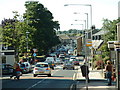
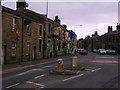
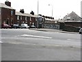
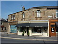
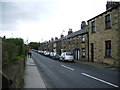
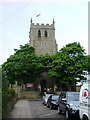
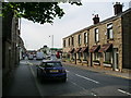
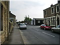
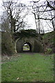
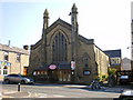
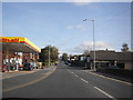
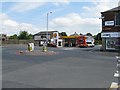
100 photos from this area
Area Information
Key information about the PR3 3TQ including its size, population, and administrative classification.
- Area Type
- Postcode
- Area Size
- 8.2 hectares
- Population
- 1289
- Population Density
- 310 people/km²
House Prices in PR3 3TQ
67
Properties
£248,329
Average Sold Price
£65,000
Lowest Price
£560,000
Highest Price
Showing 67 properties
| Address | Type | Beds | Baths | Last Sale Price | Last Sale Date | |
|---|---|---|---|---|---|---|
| 30 Chaigley Road, Longridge, PR3 3TQ | Bungalow | 3 | 1 | £220,000 | Jan 2025 | |
| 40 Chaigley Road, Longridge, PR3 3TQ | Detached | 4 | 3 | £357,000 | Jun 2024 | |
| 28 Chaigley Road, Longridge, PR3 3TQ | Bungalow | 2 | 1 | £212,000 | Apr 2024 | |
| The Laurels, Chaigley Road, Longridge, PR3 3TQ | Detached | 4 | 3 | £350,000 | Dec 2023 | |
| 71 Chaigley Road, Longridge, PR3 3TQ | Detached | 4 | 2 | £300,000 | Oct 2023 | |
| 44 Chaigley Road, Longridge, PR3 3TQ | Detached | 4 | 2 | £275,000 | Feb 2023 | |
| 46 Chaigley Road, Longridge, PR3 3TQ | Detached | 3 | 1 | £260,000 | Jul 2022 | |
| 37 Chaigley Road, Longridge, PR3 3TQ | Detached | 4 | 2 | £560,000 | May 2022 | |
| 49 Chaigley Road, Longridge, PR3 3TQ | Retail | 6 | 1 | £440,000 | Apr 2022 | |
| 33 Chaigley Road, Longridge, PR3 3TQ | house | - | - | £270,000 | Jun 2021 |
Page 1 of 7
Energy Efficiency in PR3 3TQ
Amenities
Schools
| Rank | School | Type | Entry gender | Ages |
|---|
Explore more schools in this area
Go to Schools tabDemographics
Household Size
Two person
most common
Accommodation Type
Houses
most common
Tenure
79
majority
Ethnic Group
White
most common
Religion
N/A
most common
Household Composition
N/A
most common
Age
47
median
Adults (30-64 years)
most common
Household Deprivation
N/A
with no deprivation
NS-SEC
41
in Lower managerial occupations
Explore more demographic insights in this area
Go to Demographics tabPlanning
Planning Constraints
- Flood RiskPremium
- Ramsar Wetland SitesPremium
- Area of Outstanding Natural BeautyPremium
- Protected Nature ReservePremium
- Protected WoodlandPremium