Area Overview for PR3 3SZ
Photos of PR3 3SZ
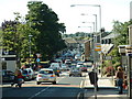
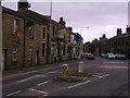
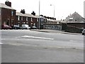
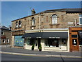
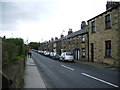
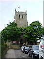
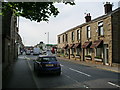
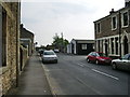
100 photos from this area
Area Information
Key information about the PR3 3SZ including its size, population, and administrative classification.
- Area Type
- Postcode
- Area Size
- 6079 m²
- Population
- 1494
- Population Density
- 3925 people/km²
House Prices in PR3 3SZ
12
Properties
£266,750
Average Sold Price
£84,000
Lowest Price
£460,000
Highest Price
Showing 12 properties
| Address | Type | Beds | Baths | Last Sale Price | Last Sale Date | |
|---|---|---|---|---|---|---|
| 27 Calfcote Lane, Longridge, PR3 3SZ | Bungalow | 3 | 1 | £280,000 | May 2024 | |
| 15 Calfcote Lane, Longridge, PR3 3SZ | Bungalow | 3 | 2 | £460,000 | Sep 2023 | |
| 11 Calfcote Lane, Longridge, PR3 3SZ | Bungalow | - | - | £350,000 | Apr 2023 | |
| 29 Calfcote Lane, Longridge, PR3 3SZ | Bungalow | 2 | 1 | £290,000 | Oct 2022 | |
| 33 Calfcote Lane, Longridge, PR3 3SZ | Semi-detached | 2 | 1 | £175,000 | Jun 2021 | |
| 19 Calfcote Lane, Longridge, PR3 3SZ | Detached | 3 | 1 | £235,000 | May 2019 | |
| 17 Calfcote Lane, Longridge, PR3 3SZ | Semi-detached | 2 | - | £260,000 | Jan 2007 | |
| 23 Calfcote Lane, Longridge, PR3 3SZ | Bungalow | - | - | £84,000 | Jan 2000 | |
| Annexe, 17 Calfcote Lane, Longridge, PR3 3SZ | Flat | - | - | - | - | |
| 31 Calfcote Lane, Longridge, PR3 3SZ | Detached | - | - | - | - |
Page 1 of 2
Energy Efficiency in PR3 3SZ
Amenities
Schools
| Rank | School | Type | Entry gender | Ages |
|---|
Explore more schools in this area
Go to Schools tabDemographics
Household Size
Two person
most common
Accommodation Type
Houses
most common
Tenure
83
majority
Ethnic Group
White
most common
Religion
N/A
most common
Household Composition
N/A
most common
Age
47
median
Adults (30-64 years)
most common
Household Deprivation
N/A
with no deprivation
NS-SEC
39
in Lower managerial occupations
Explore more demographic insights in this area
Go to Demographics tabPlanning
Planning Constraints
- Flood RiskPremium
- Ramsar Wetland SitesPremium
- Area of Outstanding Natural BeautyPremium
- Protected Nature ReservePremium
- Protected WoodlandPremium