Area Overview for PR3 2BG
Photos of PR3 2BG
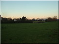
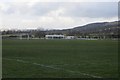
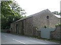
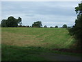
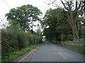
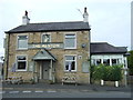
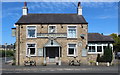
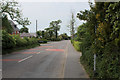
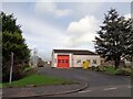
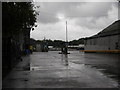
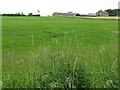
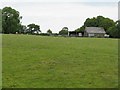
27 photos from this area
Area Information
Key information about the PR3 2BG including its size, population, and administrative classification.
- Area Type
- Postcode
- Area Size
- 5.5 hectares
- Population
- 2473
- Population Density
- 57 people/km²
House Prices in PR3 2BG
58
Properties
£284,144
Average Sold Price
£75,996
Lowest Price
£542,500
Highest Price
Showing 58 properties
| Address | Type | Beds | Baths | Last Sale Price | Last Sale Date | |
|---|---|---|---|---|---|---|
| 53 Mosses Farm Road, Preston, PR3 2BG | Detached | 5 | 3 | £395,000 | Jul 2025 | |
| 99 Mosses Farm Road, Preston, PR3 2BG | house | - | - | £136,650 | May 2025 | |
| 25 Mosses Farm Road, Preston, PR3 2BG | Detached | 4 | 4 | £542,500 | Sep 2024 | |
| 103 Mosses Farm Road, Preston, PR3 2BG | Semi-detached | 3 | 2 | £155,000 | Apr 2024 | |
| 9 Mosses Farm Road, Preston, PR3 2BG | Detached | 5 | 4 | £420,000 | Mar 2023 | |
| 35 Mosses Farm Road, Preston, PR3 2BG | Semi-detached | 3 | 1 | £165,000 | Dec 2022 | |
| 19 Mosses Farm Road, Preston, PR3 2BG | Detached | 5 | 2 | £435,000 | Dec 2022 | |
| 41 Mosses Farm Road, Preston, PR3 2BG | house | - | - | £125,000 | May 2022 | |
| 93 Mosses Farm Road, Preston, PR3 2BG | house | - | - | £150,000 | Jan 2022 | |
| 39 Mosses Farm Road, Preston, PR3 2BG | house | - | - | £124,999 | Dec 2021 |
Page 1 of 6
Energy Efficiency in PR3 2BG
Amenities
Schools
| Rank | School | Type | Entry gender | Ages |
|---|
Explore more schools in this area
Go to Schools tabDemographics
Household Size
Two person
most common
Accommodation Type
Houses
most common
Tenure
86
majority
Ethnic Group
White
most common
Religion
N/A
most common
Household Composition
N/A
most common
Age
47
median
Adults (30-64 years)
most common
Household Deprivation
N/A
with no deprivation
NS-SEC
41
in Lower managerial occupations
Explore more demographic insights in this area
Go to Demographics tabPlanning
Planning Constraints
- Flood RiskPremium
- Ramsar Wetland SitesPremium
- Area of Outstanding Natural BeautyPremium
- Protected Nature ReservePremium
- Protected WoodlandPremium