Area Overview for PR3 1ZB
Photos of PR3 1ZB
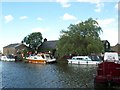
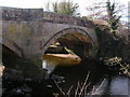
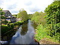

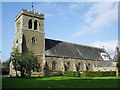
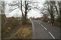
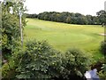
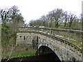
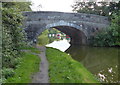
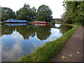
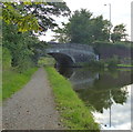
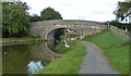
81 photos from this area
Area Information
Key information about the PR3 1ZB including its size, population, and administrative classification.
- Area Type
- Postcode
- Area Size
- 3.9 hectares
- Population
- 2424
- Population Density
- 121 people/km²
House Prices in PR3 1ZB
45
Properties
£284,567
Average Sold Price
£135,000
Lowest Price
£710,000
Highest Price
Showing 45 properties
| Address | Type | Beds | Baths | Last Sale Price | Last Sale Date | |
|---|---|---|---|---|---|---|
| 27 Bonds Lane, Barnacre With Bonds, PR3 1ZB | Cottage | 4 | 2 | £445,000 | Jun 2024 | |
| 1, East View, 14 Bonds Lane, Barnacre With Bonds, PR3 1ZB | Terraced | 3 | 2 | £259,500 | Nov 2023 | |
| Sion Hill, 6 Bonds Lane, Barnacre With Bonds, PR3 1ZB | Retail | 5 | 2 | £710,000 | May 2022 | |
| St Jude, 36 Bonds Lane, Barnacre With Bonds, PR3 1ZB | Semi-detached | 3 | 1 | £135,000 | Dec 2019 | |
| 2, East View, 16 Bonds Lane, Barnacre With Bonds, PR3 1ZB | Terraced | 3 | 1 | £207,500 | Jul 2019 | |
| Bonds Villa, 40 Bonds Lane, Barnacre With Bonds, PR3 1ZB | Detached | 4 | 3 | £500,000 | Apr 2018 | |
| West View, 19 Bonds Lane, Barnacre With Bonds, PR3 1ZB | Semi-detached | 3 | 2 | £294,000 | Jan 2018 | |
| 35 Bonds Lane, Barnacre With Bonds, PR3 1ZB | Detached | 4 | 2 | £249,950 | Nov 2015 | |
| Ashmeade, 22 Bonds Lane, Barnacre With Bonds, PR3 1ZB | Detached | 3 | - | £275,600 | Dec 2013 | |
| Roselyn, 7 Bonds Lane, Barnacre With Bonds, PR3 1ZB | Semi-detached | - | - | £191,000 | Dec 2013 |
Page 1 of 5
Energy Efficiency in PR3 1ZB
Amenities
Schools
| Rank | School | Type | Entry gender | Ages |
|---|
Explore more schools in this area
Go to Schools tabDemographics
Household Size
Two person
most common
Accommodation Type
Houses
most common
Tenure
82
majority
Ethnic Group
White
most common
Religion
N/A
most common
Household Composition
N/A
most common
Age
47
median
Adults (30-64 years)
most common
Household Deprivation
N/A
with no deprivation
NS-SEC
44
in Lower managerial occupations
Explore more demographic insights in this area
Go to Demographics tabPlanning
Planning Constraints
- Flood RiskPremium
- Ramsar Wetland SitesPremium
- Area of Outstanding Natural BeautyPremium
- Protected Nature ReservePremium
- Protected WoodlandPremium