Area Overview for PR3 1YP
Photos of PR3 1YP
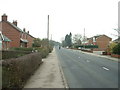
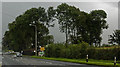
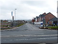
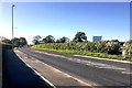
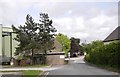
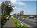
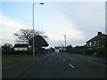
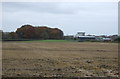
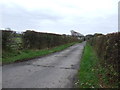
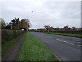
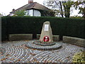
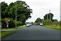
16 photos from this area
Area Information
Key information about the PR3 1YP including its size, population, and administrative classification.
- Area Type
- Postcode
- Area Size
- 1.1 hectares
- Population
- 2749
- Population Density
- 301 people/km²
House Prices in PR3 1YP
30
Properties
£146,999
Average Sold Price
£59,800
Lowest Price
£265,000
Highest Price
Showing 30 properties
| Address | Type | Beds | Baths | Last Sale Price | Last Sale Date | |
|---|---|---|---|---|---|---|
| 23 Thornbank Drive, Catterall, PR3 1YP | Semi-detached | 3 | 1 | £265,000 | Dec 2024 | |
| 31 Thornbank Drive, Catterall, PR3 1YP | house | 4 | - | £225,000 | Feb 2018 | |
| 35 Thornbank Drive, Catterall, PR3 1YP | Detached | 4 | 2 | £215,000 | May 2016 | |
| 37 Thornbank Drive, Catterall, PR3 1YP | Detached | 4 | 2 | £247,000 | Sep 2015 | |
| 16 Thornbank Drive, Catterall, PR3 1YP | house | - | - | £145,000 | Sep 2014 | |
| 29 Thornbank Drive, Catterall, PR3 1YP | house | - | - | £190,000 | Aug 2011 | |
| 19 Thornbank Drive, Catterall, PR3 1YP | Bungalow | - | - | £189,375 | Nov 2010 | |
| 14 Thornbank Drive, Catterall, PR3 1YP | Bungalow | - | - | £168,000 | Aug 2010 | |
| 1 Thornbank Drive, Catterall, PR3 1YP | house | - | - | £168,500 | Aug 2004 | |
| 6 Thornbank Drive, Catterall, PR3 1YP | Detached | - | - | £194,500 | May 2004 |
Page 1 of 3
Energy Efficiency in PR3 1YP
Amenities
Schools
| Rank | School | Type | Entry gender | Ages |
|---|
Explore more schools in this area
Go to Schools tabDemographics
Household Size
Two person
most common
Accommodation Type
Houses
most common
Tenure
85
majority
Ethnic Group
White
most common
Religion
N/A
most common
Household Composition
N/A
most common
Age
47
median
Adults (30-64 years)
most common
Household Deprivation
N/A
with no deprivation
NS-SEC
38
in Lower managerial occupations
Explore more demographic insights in this area
Go to Demographics tabPlanning
Planning Constraints
- Flood RiskPremium
- Ramsar Wetland SitesPremium
- Area of Outstanding Natural BeautyPremium
- Protected Nature ReservePremium
- Protected WoodlandPremium