Area Overview for PR3 1JL
Photos of PR3 1JL
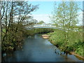

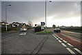
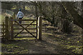

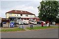
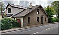
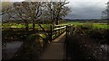
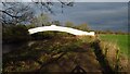
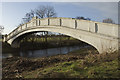
26 photos from this area
Area Information
Key information about the PR3 1JL including its size, population, and administrative classification.
- Area Type
- Postcode
- Area Size
- 1.5 hectares
- Population
- 1610
- Population Density
- 2057 people/km²
House Prices in PR3 1JL
22
Properties
£246,115
Average Sold Price
£71,000
Lowest Price
£485,000
Highest Price
Showing 22 properties
| Address | Type | Beds | Baths | Last Sale Price | Last Sale Date | |
|---|---|---|---|---|---|---|
| 14 Wyre Lane, Garstang, PR3 1JL | Semi-detached | 2 | 1 | £220,000 | May 2025 | |
| 12 Wyre Lane, Garstang, PR3 1JL | Bungalow | 2 | 1 | £215,000 | May 2024 | |
| 20 Wyre Lane, Garstang, PR3 1JL | Retail | 3 | 1 | £400,000 | Mar 2022 | |
| 10 Wyre Lane, Garstang, PR3 1JL | Semi-detached | 2 | 1 | £185,000 | Mar 2020 | |
| 8 Wyre Lane, Garstang, PR3 1JL | Bungalow | - | - | £185,000 | Mar 2018 | |
| 7 Wyre Lane, Garstang, PR3 1JL | Bungalow | 2 | 1 | £317,500 | Nov 2017 | |
| 2 Wyre Lane, Garstang, PR3 1JL | Semi-detached | 1 | 1 | £173,000 | Sep 2016 | |
| 16 Wyre Lane, Garstang, PR3 1JL | Bungalow | - | - | £175,000 | Jun 2012 | |
| Hipping Stones, Wyre Lane, Garstang, PR3 1JL | Bungalow | - | - | £485,000 | Apr 2009 | |
| 22 Wyre Lane, Garstang, PR3 1JL | Detached | - | - | £385,000 | Jan 2007 |
Page 1 of 3
Energy Efficiency in PR3 1JL
Amenities
Schools
| Rank | School | Type | Entry gender | Ages |
|---|
Explore more schools in this area
Go to Schools tabDemographics
Household Size
Two person
most common
Accommodation Type
Houses
most common
Tenure
77
majority
Ethnic Group
White
most common
Religion
N/A
most common
Household Composition
N/A
most common
Age
47
median
Elderly (65+ years)
most common
Household Deprivation
N/A
with no deprivation
NS-SEC
38
in Lower managerial occupations
Explore more demographic insights in this area
Go to Demographics tabPlanning
Planning Constraints
- Flood RiskPremium
- Ramsar Wetland SitesPremium
- Area of Outstanding Natural BeautyPremium
- Protected Nature ReservePremium
- Protected WoodlandPremium