Area Overview for PR3 1BZ
Photos of PR3 1BZ
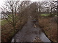
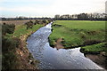
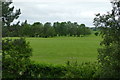
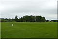
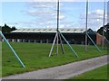
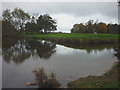
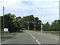
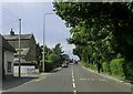
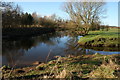
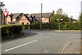
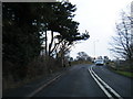
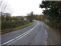
19 photos from this area
Area Information
Key information about the PR3 1BZ including its size, population, and administrative classification.
- Area Type
- Postcode
- Area Size
- 3.6 hectares
- Population
- 2424
- Population Density
- 121 people/km²
House Prices in PR3 1BZ
18
Properties
£422,997
Average Sold Price
£320,000
Lowest Price
£675,000
Highest Price
Showing 18 properties
| Address | Type | Beds | Baths | Last Sale Price | Last Sale Date | |
|---|---|---|---|---|---|---|
| 6 Oak Hill Drive, Bowgreave, Barnacre With Bonds, PR3 1BZ | Bungalow | 2 | 2 | £380,000 | Dec 2023 | |
| 23 Oak Hill Drive, Bowgreave, Barnacre With Bonds, PR3 1BZ | Bungalow | - | - | £365,000 | May 2023 | |
| 21 Oak Hill Drive, Bowgreave, Barnacre With Bonds, PR3 1BZ | Bungalow | - | - | £400,000 | May 2023 | |
| 19 Oak Hill Drive, Bowgreave, Barnacre With Bonds, PR3 1BZ | Bungalow | - | - | £400,000 | May 2023 | |
| 25 Oak Hill Drive, Bowgreave, Barnacre With Bonds, PR3 1BZ | Bungalow | - | - | £375,000 | Apr 2023 | |
| 17 Oak Hill Drive, Bowgreave, Barnacre With Bonds, PR3 1BZ | house | - | - | £374,950 | Apr 2023 | |
| 27 Oak Hill Drive, Bowgreave, Barnacre With Bonds, PR3 1BZ | Bungalow | - | - | £365,000 | Mar 2023 | |
| 15 Oak Hill Drive, Bowgreave, Barnacre With Bonds, PR3 1BZ | house | - | - | £380,000 | Mar 2023 | |
| 8 Oak Hill Drive, Bowgreave, Barnacre With Bonds, PR3 1BZ | Bungalow | - | - | £350,000 | Feb 2023 | |
| 9 Oak Hill Drive, Bowgreave, Barnacre With Bonds, PR3 1BZ | house | - | - | £340,000 | Oct 2022 |
Page 1 of 2
Energy Efficiency in PR3 1BZ
Amenities
Schools
| Rank | School | Type | Entry gender | Ages |
|---|
Explore more schools in this area
Go to Schools tabDemographics
Household Size
Two person
most common
Accommodation Type
Houses
most common
Tenure
82
majority
Ethnic Group
White
most common
Religion
N/A
most common
Household Composition
N/A
most common
Age
47
median
Adults (30-64 years)
most common
Household Deprivation
N/A
with no deprivation
NS-SEC
44
in Lower managerial occupations
Explore more demographic insights in this area
Go to Demographics tabPlanning
Planning Constraints
- Flood RiskPremium
- Ramsar Wetland SitesPremium
- Area of Outstanding Natural BeautyPremium
- Protected Nature ReservePremium
- Protected WoodlandPremium