Area Overview for PR3 0AA
Photos of PR3 0AA
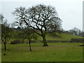
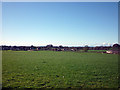
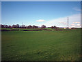
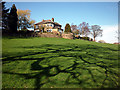
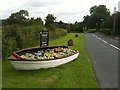
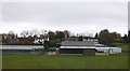
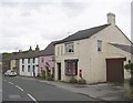
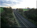
20 photos from this area
Area Information
Key information about the PR3 0AA including its size, population, and administrative classification.
- Area Type
- Postcode
- Area Size
- 7.8 hectares
- Population
- 2335
- Population Density
- 42 people/km²
House Prices in PR3 0AA
47
Properties
£273,922
Average Sold Price
£72,000
Lowest Price
£493,000
Highest Price
Showing 47 properties
| Address | Type | Beds | Baths | Last Sale Price | Last Sale Date | |
|---|---|---|---|---|---|---|
| The Rowans, Hollins Lane, Forton, PR3 0AA | Detached | 3 | 2 | £410,000 | Nov 2024 | |
| Greycot, Hollins Lane, Forton, PR3 0AA | Semi-detached | 4 | 2 | £410,500 | Nov 2022 | |
| 54 Hollins Lane, Forton, PR3 0AA | house | - | - | £350,000 | Nov 2022 | |
| Maplewood, Hollins Lane, Forton, PR3 0AA | house | - | - | £339,950 | Aug 2022 | |
| Conder Mount, Hollins Lane, Forton, PR3 0AA | Bungalow | 3 | 1 | £314,000 | Jul 2022 | |
| The Burrow, Hollins Lane, Forton, PR3 0AA | Bungalow | - | - | £493,000 | Jul 2022 | |
| 48 Hollins Lane, Forton, PR3 0AA | house | - | - | £330,000 | Jun 2022 | |
| Sunny Lea, Hollins Lane, Forton, PR3 0AA | Detached | 3 | 2 | £360,000 | Feb 2022 | |
| Oakwood, Hollins Lane, Forton, PR3 0AA | Detached | 4 | 2 | £318,000 | Jun 2021 | |
| Holly Cottage, Hollins Lane, Forton, PR3 0AA | Detached | 3 | 2 | £320,000 | Jun 2021 |
Page 1 of 5
Energy Efficiency in PR3 0AA
Amenities
Schools
| Rank | School | Type | Entry gender | Ages |
|---|
Explore more schools in this area
Go to Schools tabDemographics
Household Size
Two person
most common
Accommodation Type
Houses
most common
Tenure
77
majority
Ethnic Group
White
most common
Religion
N/A
most common
Household Composition
N/A
most common
Age
47
median
Adults (30-64 years)
most common
Household Deprivation
N/A
with no deprivation
NS-SEC
40
in Lower managerial occupations
Explore more demographic insights in this area
Go to Demographics tabPlanning
Planning Constraints
- Flood RiskPremium
- Ramsar Wetland SitesPremium
- Area of Outstanding Natural BeautyPremium
- Protected Nature ReservePremium
- Protected WoodlandPremium