Area Overview for PR26 9RP
Photos of PR26 9RP
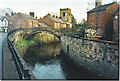
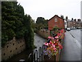
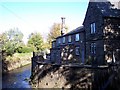
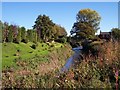
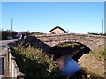
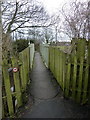
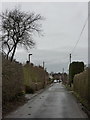
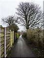
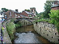
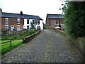
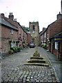
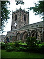
94 photos from this area
Area Information
Key information about the PR26 9RP including its size, population, and administrative classification.
- Area Type
- Postcode
- Area Size
- 3.2 hectares
- Population
- 1640
- Population Density
- 2694 people/km²
House Prices in PR26 9RP
43
Properties
£216,338
Average Sold Price
£44,000
Lowest Price
£605,000
Highest Price
Showing 43 properties
| Address | Type | Beds | Baths | Last Sale Price | Last Sale Date | |
|---|---|---|---|---|---|---|
| 103 Station Road, Croston, PR26 9RP | Terraced | 2 | 1 | £260,000 | Jul 2023 | |
| 110 Station Road, Croston, PR26 9RP | house | 2 | 1 | £185,000 | Apr 2023 | |
| 100 Station Road, Croston, PR26 9RP | Terraced | 2 | 2 | £195,000 | Sep 2022 | |
| 104 Station Road, Croston, PR26 9RP | Retail | 2 | - | £235,000 | Jun 2022 | |
| 120 Station Road, Croston, PR26 9RP | Terraced | 2 | 1 | £206,000 | Jun 2022 | |
| 111 Station Road, Croston, PR26 9RP | Terraced | 3 | - | £215,000 | Aug 2021 | |
| 102 Station Road, Croston, PR26 9RP | house | - | - | £205,000 | Aug 2021 | |
| 98 Station Road, Croston, PR26 9RP | house | 3 | 2 | £300,000 | Mar 2021 | |
| 96 Station Road, Croston, PR26 9RP | house | - | - | £460,000 | Jan 2021 | |
| 109 Station Road, Croston, PR26 9RP | Terraced | 3 | 1 | £220,000 | Mar 2019 |
Page 1 of 5
Energy Efficiency in PR26 9RP
Amenities
Schools
| Rank | School | Type | Entry gender | Ages |
|---|
Explore more schools in this area
Go to Schools tabDemographics
Household Size
Two person
most common
Accommodation Type
Houses
most common
Tenure
72
majority
Ethnic Group
White
most common
Religion
N/A
most common
Household Composition
N/A
most common
Age
47
median
Adults (30-64 years)
most common
Household Deprivation
N/A
with no deprivation
NS-SEC
40
in Lower managerial occupations
Explore more demographic insights in this area
Go to Demographics tabPlanning
Planning Constraints
- Flood RiskPremium
- Ramsar Wetland SitesPremium
- Area of Outstanding Natural BeautyPremium
- Protected Nature ReservePremium
- Protected WoodlandPremium