Area Overview for PR26 9HP
Photos of PR26 9HP
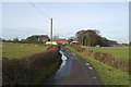
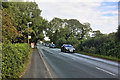
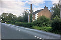
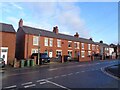
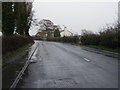
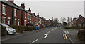
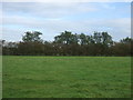
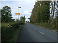
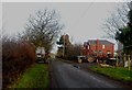
9 photos from this area
Area Information
Key information about the PR26 9HP including its size, population, and administrative classification.
- Area Type
- Postcode
- Area Size
- 46.6 hectares
- Population
- 3085
- Population Density
- 375 people/km²
House Prices in PR26 9HP
43
Properties
£327,273
Average Sold Price
£75,000
Lowest Price
£930,000
Highest Price
Showing 43 properties
| Address | Type | Beds | Baths | Last Sale Price | Last Sale Date | |
|---|---|---|---|---|---|---|
| 191 Moor Road, Croston, PR26 9HP | Detached | 4 | 2 | £495,000 | Oct 2025 | |
| 99 Moor Road, Croston, PR26 9HP | Semi-detached | 3 | 1 | £225,000 | Apr 2025 | |
| 197 Moor Road, Croston, PR26 9HP | Detached | 5 | 4 | £930,000 | Mar 2024 | |
| 223 Moor Road, Croston, PR26 9HP | Semi-detached | 4 | 2 | £415,000 | Dec 2022 | |
| 297 Moor Road, Croston, PR26 9HP | Semi-detached | 3 | 1 | £320,000 | Oct 2022 | |
| 287 Moor Road, Croston, PR26 9HP | Detached | 5 | 2 | £555,000 | Jul 2020 | |
| 101 Moor Road, Croston, PR26 9HP | Semi-detached | 3 | 1 | £160,000 | Nov 2019 | |
| 283 Moor Road, Croston, PR26 9HP | Bungalow | 2 | 1 | £305,000 | Feb 2019 | |
| 301 Moor Road, Croston, PR26 9HP | house | 3 | 1 | £305,000 | Jul 2018 | |
| 103A Moor Road, Croston, PR26 9HP | house | - | - | £240,000 | Dec 2017 |
Page 1 of 5
Energy Efficiency in PR26 9HP
Amenities
Schools
| Rank | School | Type | Entry gender | Ages |
|---|
Explore more schools in this area
Go to Schools tabDemographics
Household Size
Family (3-5 people)
most common
Accommodation Type
Houses
most common
Tenure
79
majority
Ethnic Group
White
most common
Religion
N/A
most common
Household Composition
N/A
most common
Age
47
median
Adults (30-64 years)
most common
Household Deprivation
N/A
with no deprivation
NS-SEC
21
in Lower managerial occupations
Explore more demographic insights in this area
Go to Demographics tabPlanning
Planning Constraints
- Flood RiskPremium
- Ramsar Wetland SitesPremium
- Area of Outstanding Natural BeautyPremium
- Protected Nature ReservePremium
- Protected WoodlandPremium