Area Overview for PR25 3BW
Photos of PR25 3BW

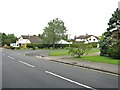
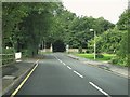
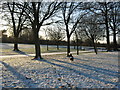
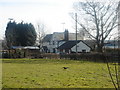

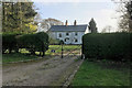
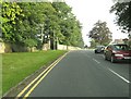
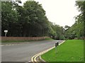
29 photos from this area
Area Information
Key information about the PR25 3BW including its size, population, and administrative classification.
- Area Type
- Postcode
- Area Size
- 1.0 hectares
- Population
- 1812
- Population Density
- 2131 people/km²
House Prices in PR25 3BW
16
Properties
£258,883
Average Sold Price
£169,950
Lowest Price
£310,000
Highest Price
Showing 16 properties
| Address | Type | Beds | Baths | Last Sale Price | Last Sale Date | |
|---|---|---|---|---|---|---|
| 81 Dalehead Road, Leyland, PR25 3BW | Bungalow | 3 | 1 | £310,000 | Apr 2024 | |
| 85 Dalehead Road, Leyland, PR25 3BW | house | - | - | £305,000 | Aug 2021 | |
| 103 Dalehead Road, Leyland, PR25 3BW | house | - | - | £300,000 | Jul 2021 | |
| 93 Dalehead Road, Leyland, PR25 3BW | Bungalow | - | - | £270,000 | Mar 2016 | |
| 87 Dalehead Road, Leyland, PR25 3BW | house | 3 | - | £280,000 | Feb 2015 | |
| 79 Dalehead Road, Leyland, PR25 3BW | Bungalow | - | - | £275,000 | Nov 2014 | |
| 75 Dalehead Road, Leyland, PR25 3BW | Bungalow | - | - | £175,000 | May 2013 | |
| 91 Dalehead Road, Leyland, PR25 3BW | Detached | 4 | - | £245,000 | Apr 2013 | |
| 89 Dalehead Road, Leyland, PR25 3BW | house | - | - | £169,950 | Feb 2005 | |
| 73 Dalehead Road, Leyland, PR25 3BW | Detached | - | - | - | - |
Page 1 of 2
Energy Efficiency in PR25 3BW
Amenities
Schools
| Rank | School | Type | Entry gender | Ages |
|---|
Explore more schools in this area
Go to Schools tabDemographics
Household Size
Two person
most common
Accommodation Type
Houses
most common
Tenure
96
majority
Ethnic Group
White
most common
Religion
N/A
most common
Household Composition
N/A
most common
Age
47
median
Adults (30-64 years)
most common
Household Deprivation
N/A
with no deprivation
NS-SEC
48
in Lower managerial occupations
Explore more demographic insights in this area
Go to Demographics tabPlanning
Planning Constraints
- Flood RiskPremium
- Ramsar Wetland SitesPremium
- Area of Outstanding Natural BeautyPremium
- Protected Nature ReservePremium
- Protected WoodlandPremium