Area Overview for PR2 9HD
Photos of PR2 9HD
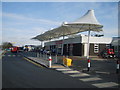
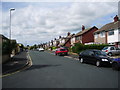
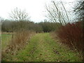
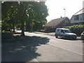
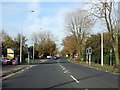
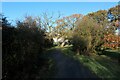
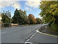
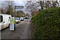
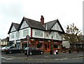
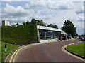
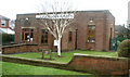
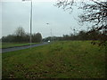
15 photos from this area
Area Information
Key information about the PR2 9HD including its size, population, and administrative classification.
- Area Type
- Postcode
- Area Size
- 6.8 hectares
- Population
- 1145
- Population Density
- 1448 people/km²
House Prices in PR2 9HD
20
Properties
£237,958
Average Sold Price
£69,500
Lowest Price
£370,000
Highest Price
Showing 20 properties
| Address | Type | Beds | Baths | Last Sale Price | Last Sale Date | |
|---|---|---|---|---|---|---|
| 246 Sharoe Green Lane, Preston, PR2 9HD | Detached | 4 | 1 | £250,000 | Feb 2025 | |
| 234 Sharoe Green Lane, Preston, PR2 9HD | Detached | 4 | 1 | £290,000 | Feb 2023 | |
| 290 Sharoe Green Lane, Preston, PR2 9HD | house | - | - | £275,000 | Apr 2021 | |
| 288 Sharoe Green Lane, Preston, PR2 9HD | house | - | - | £250,000 | Apr 2021 | |
| 278 Sharoe Green Lane, Preston, PR2 9HD | Detached | 4 | 3 | £370,000 | Jan 2020 | |
| 248 Sharoe Green Lane, Preston, PR2 9HD | Detached | 4 | 2 | £241,000 | Sep 2017 | |
| 238 Sharoe Green Lane, Preston, PR2 9HD | Detached | 4 | 2 | £210,000 | May 2017 | |
| 242 Sharoe Green Lane, Preston, PR2 9HD | Detached | 4 | 1 | £205,000 | May 2015 | |
| 244 Sharoe Green Lane, Preston, PR2 9HD | house | - | - | £212,000 | Jan 2013 | |
| 232 Sharoe Green Lane, Preston, PR2 9HD | house | - | - | £356,000 | Feb 2006 |
Page 1 of 2
Energy Efficiency in PR2 9HD
Amenities
Schools
| Rank | School | Type | Entry gender | Ages |
|---|
Explore more schools in this area
Go to Schools tabDemographics
Household Size
One person
most common
Accommodation Type
Houses
most common
Tenure
55
majority
Ethnic Group
White
most common
Religion
N/A
most common
Household Composition
N/A
most common
Age
47
median
Adults (30-64 years)
most common
Household Deprivation
N/A
with no deprivation
NS-SEC
34
in Lower managerial occupations
Explore more demographic insights in this area
Go to Demographics tabPlanning
Planning Constraints
- Flood RiskPremium
- Ramsar Wetland SitesPremium
- Area of Outstanding Natural BeautyPremium
- Protected Nature ReservePremium
- Protected WoodlandPremium