Area Overview for PR2 6RH
Photos of PR2 6RH
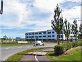
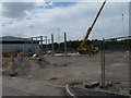

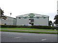
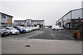
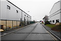
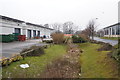
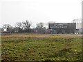

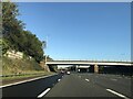
35 photos from this area
Area Information
Key information about the PR2 6RH including its size, population, and administrative classification.
- Area Type
- Postcode
- Area Size
- 1.5 hectares
- Population
- 1546
- Population Density
- 1924 people/km²
House Prices in PR2 6RH
30
Properties
£128,905
Average Sold Price
£49,950
Lowest Price
£245,000
Highest Price
Showing 30 properties
| Address | Type | Beds | Baths | Last Sale Price | Last Sale Date | |
|---|---|---|---|---|---|---|
| 81 Longridge Road, Preston, PR2 6RH | Semi-detached | 3 | 1 | £200,000 | Dec 2025 | |
| 99 Longridge Road, Preston, PR2 6RH | Detached | 3 | 1 | £200,000 | Jun 2025 | |
| 95 Longridge Road, Preston, PR2 6RH | house | 3 | 1 | £160,000 | Jan 2023 | |
| 129 Longridge Road, Preston, PR2 6RH | Detached | 3 | 3 | £245,000 | Jun 2022 | |
| 79 Longridge Road, Preston, PR2 6RH | Semi-detached | 3 | 1 | £155,000 | Nov 2020 | |
| 91 Longridge Road, Preston, PR2 6RH | house | - | - | £150,000 | Oct 2020 | |
| 123 Longridge Road, Preston, PR2 6RH | Semi-detached | 3 | 1 | £126,000 | Jul 2019 | |
| 87 Longridge Road, Preston, PR2 6RH | Semi-detached | 3 | - | £125,000 | Sep 2017 | |
| 113 Longridge Road, Preston, PR2 6RH | Semi-detached | 3 | 2 | £137,000 | Jun 2017 | |
| 131 Longridge Road, Preston, PR2 6RH | Detached | 4 | 1 | £180,000 | Apr 2017 |
Page 1 of 3
Energy Efficiency in PR2 6RH
Amenities
Schools
| Rank | School | Type | Entry gender | Ages |
|---|
Explore more schools in this area
Go to Schools tabDemographics
Household Size
Family (3-5 people)
most common
Accommodation Type
Houses
most common
Tenure
64
majority
Ethnic Group
White
most common
Religion
N/A
most common
Household Composition
N/A
most common
Age
47
median
Adults (30-64 years)
most common
Household Deprivation
N/A
with no deprivation
NS-SEC
26
in Lower managerial occupations
Explore more demographic insights in this area
Go to Demographics tabPlanning
Planning Constraints
- Flood RiskPremium
- Ramsar Wetland SitesPremium
- Area of Outstanding Natural BeautyPremium
- Protected Nature ReservePremium
- Protected WoodlandPremium