Area Overview for PR2 6LA
Photos of PR2 6LA
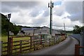
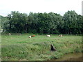
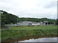
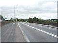
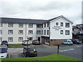
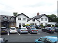
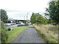
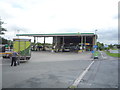
31 photos from this area
Area Information
Key information about the PR2 6LA including its size, population, and administrative classification.
- Area Type
- Postcode
- Area Size
- 2.1 hectares
- Population
- 1761
- Population Density
- 5747 people/km²
House Prices in PR2 6LA
53
Properties
£81,172
Average Sold Price
£24,603
Lowest Price
£127,000
Highest Price
Showing 53 properties
| Address | Type | Beds | Baths | Last Sale Price | Last Sale Date | |
|---|---|---|---|---|---|---|
| 27 Whitmore Drive, Preston, PR2 6LA | house | - | - | £127,000 | Jul 2024 | |
| 44 Whitmore Drive, Preston, PR2 6LA | Terraced | 3 | 1 | £122,000 | Nov 2023 | |
| 19 Whitmore Drive, Preston, PR2 6LA | Terraced | 3 | 1 | £121,000 | Mar 2023 | |
| 6 Whitmore Drive, Preston, PR2 6LA | house | 3 | 1 | £99,000 | Nov 2022 | |
| 26 Whitmore Drive, Preston, PR2 6LA | Semi-detached | 3 | 1 | £85,000 | Aug 2022 | |
| 57 Whitmore Drive, Preston, PR2 6LA | Terraced | 3 | 1 | £95,000 | Apr 2022 | |
| 22 Whitmore Drive, Preston, PR2 6LA | Terraced | 3 | - | £95,000 | Jan 2021 | |
| 55 Whitmore Drive, Preston, PR2 6LA | Terraced | 3 | 1 | £91,000 | Dec 2019 | |
| 21 Whitmore Drive, Preston, PR2 6LA | Terraced | 3 | 1 | £78,000 | Oct 2018 | |
| 20 Whitmore Drive, Preston, PR2 6LA | house | 3 | - | £92,000 | Jan 2017 |
Page 1 of 6
Energy Efficiency in PR2 6LA
Amenities
Schools
| Rank | School | Type | Entry gender | Ages |
|---|
Explore more schools in this area
Go to Schools tabDemographics
Household Size
Family (3-5 people)
most common
Accommodation Type
Houses
most common
Tenure
38
majority
Ethnic Group
White
most common
Religion
N/A
most common
Household Composition
N/A
most common
Age
47
median
Adults (30-64 years)
most common
Household Deprivation
N/A
with no deprivation
NS-SEC
11
in Lower managerial occupations
Explore more demographic insights in this area
Go to Demographics tabPlanning
Planning Constraints
- Flood RiskPremium
- Ramsar Wetland SitesPremium
- Area of Outstanding Natural BeautyPremium
- Protected Nature ReservePremium
- Protected WoodlandPremium