Area Overview for PR2 6DB
Photos of PR2 6DB
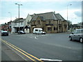
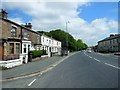
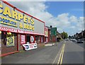
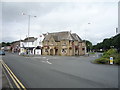
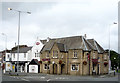
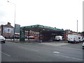
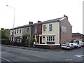
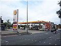
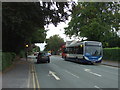
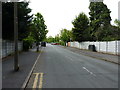
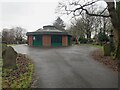
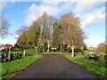
33 photos from this area
Area Information
Key information about the PR2 6DB including its size, population, and administrative classification.
- Area Type
- Postcode
- Area Size
- 1.1 hectares
- Population
- 1689
- Population Density
- 2750 people/km²
House Prices in PR2 6DB
14
Properties
£184,938
Average Sold Price
£65,000
Lowest Price
£300,000
Highest Price
Showing 14 properties
| Address | Type | Beds | Baths | Last Sale Price | Last Sale Date | |
|---|---|---|---|---|---|---|
| 176 Ribbleton Avenue, Preston, PR2 6DB | Bungalow | 3 | 2 | £300,000 | Oct 2024 | |
| 156 Ribbleton Avenue, Preston, PR2 6DB | Semi-detached | 4 | - | £300,000 | Sep 2021 | |
| 164 Ribbleton Avenue, Preston, PR2 6DB | Semi-detached | 3 | 1 | £141,500 | Jun 2019 | |
| 178 Ribbleton Avenue, Preston, PR2 6DB | Semi-detached | 3 | 1 | £187,000 | Feb 2019 | |
| 160 Ribbleton Avenue, Preston, PR2 6DB | Semi-detached | 3 | 1 | £190,000 | Dec 2017 | |
| 168 Ribbleton Avenue, Preston, PR2 6DB | house | - | - | £156,000 | Apr 2005 | |
| 174 Ribbleton Avenue, Preston, PR2 6DB | Semi-detached | 3 | 2 | £140,000 | Aug 2004 | |
| 172 Ribbleton Avenue, Preston, PR2 6DB | Semi-detached | - | - | £65,000 | Sep 1995 | |
| 170 Ribbleton Avenue, Preston, PR2 6DB | Detached | 3 | 2 | - | - | |
| 152 Ribbleton Avenue, Preston, PR2 6DB | Detached | 3 | 1 | - | - |
Page 1 of 2
Energy Efficiency in PR2 6DB
Amenities
Schools
| Rank | School | Type | Entry gender | Ages |
|---|
Explore more schools in this area
Go to Schools tabDemographics
Household Size
Family (3-5 people)
most common
Accommodation Type
Houses
most common
Tenure
76
majority
Ethnic Group
White
most common
Religion
N/A
most common
Household Composition
N/A
most common
Age
47
median
Adults (30-64 years)
most common
Household Deprivation
N/A
with no deprivation
NS-SEC
22
in Lower managerial occupations
Explore more demographic insights in this area
Go to Demographics tabPlanning
Planning Constraints
- Flood RiskPremium
- Ramsar Wetland SitesPremium
- Area of Outstanding Natural BeautyPremium
- Protected Nature ReservePremium
- Protected WoodlandPremium