Area Overview for PR2 5JR
Photos of PR2 5JR
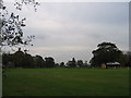
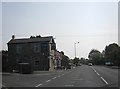
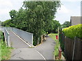
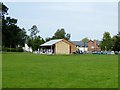
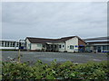
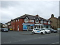
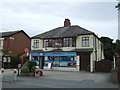
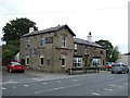
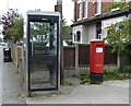
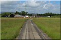
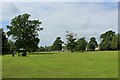
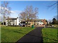
20 photos from this area
Area Information
Key information about the PR2 5JR including its size, population, and administrative classification.
- Area Type
- Postcode
- Area Size
- 38.8 hectares
- Population
- 2801
- Population Density
- 215 people/km²
House Prices in PR2 5JR
55
Properties
£301,880
Average Sold Price
£12,640
Lowest Price
£664,999
Highest Price
Showing 55 properties
| Address | Type | Beds | Baths | Last Sale Price | Last Sale Date | |
|---|---|---|---|---|---|---|
| 243 Preston Road, Preston, PR2 5JR | house | - | - | £542,000 | Oct 2025 | |
| 267 Preston Road, Preston, PR2 5JR | Terraced | 3 | 1 | £375,000 | Aug 2024 | |
| 213 Preston Road, Preston, PR2 5JR | house | - | - | £12,640 | Aug 2021 | |
| Dam House Barn, 217A Preston Road, Preston, PR2 5JR | Detached | - | - | £225,000 | Mar 2021 | |
| 197 Preston Road, Preston, PR2 5JR | Terraced | 2 | 1 | £226,250 | Jan 2021 | |
| 211 Preston Road, Preston, PR2 5JR | Detached | 5 | 4 | £384,995 | Apr 2019 | |
| 263 Preston Road, Preston, PR2 5JR | Terraced | 4 | 1 | £250,000 | Feb 2019 | |
| 249 Preston Road, Preston, PR2 5JR | house | - | - | £549,995 | Dec 2018 | |
| 209 Preston Road, Preston, PR2 5JR | house | - | - | £374,995 | Nov 2018 | |
| 233 Preston Road, Preston, PR2 5JR | house | - | - | £499,995 | Nov 2018 |
Page 1 of 6
Energy Efficiency in PR2 5JR
Amenities
Schools
| Rank | School | Type | Entry gender | Ages |
|---|
Explore more schools in this area
Go to Schools tabDemographics
Household Size
Family (3-5 people)
most common
Accommodation Type
Houses
most common
Tenure
86
majority
Ethnic Group
White
most common
Religion
N/A
most common
Household Composition
N/A
most common
Age
47
median
Adults (30-64 years)
most common
Household Deprivation
N/A
with no deprivation
NS-SEC
43
in Lower managerial occupations
Explore more demographic insights in this area
Go to Demographics tabPlanning
Planning Constraints
- Flood RiskPremium
- Ramsar Wetland SitesPremium
- Area of Outstanding Natural BeautyPremium
- Protected Nature ReservePremium
- Protected WoodlandPremium