Area Overview for PR2 3LN
Photos of PR2 3LN

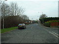
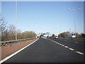
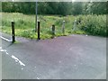
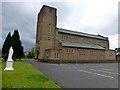
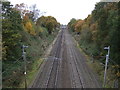
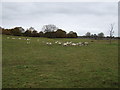
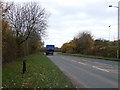
18 photos from this area
Area Information
Key information about the PR2 3LN including its size, population, and administrative classification.
- Area Type
- Postcode
- Area Size
- 1.3 hectares
- Population
- 2840
- Population Density
- 4111 people/km²
House Prices in PR2 3LN
11
Properties
£413,000
Average Sold Price
£192,000
Lowest Price
£895,000
Highest Price
Showing 11 properties
| Address | Type | Beds | Baths | Last Sale Price | Last Sale Date | |
|---|---|---|---|---|---|---|
| 381 Garstang Road, Preston, PR2 3LN | Detached | 4 | 1 | £465,000 | Feb 2023 | |
| The Blossom House, 395 Garstang Road, Preston, PR2 3LN | Detached | 3 | 3 | £895,000 | Mar 2022 | |
| 389 Garstang Road, Preston, PR2 3LN | Detached | 4 | 2 | £500,000 | Oct 2020 | |
| 393 Garstang Road, Preston, PR2 3LN | Detached | 4 | 1 | £410,000 | Aug 2019 | |
| 387 Garstang Road, Preston, PR2 3LN | house | - | - | £350,000 | Jun 2009 | |
| 379 Garstang Road, Preston, PR2 3LN | Detached | - | - | £470,000 | Aug 2007 | |
| 383 Garstang Road, Preston, PR2 3LN | Detached | 6 | 1 | £192,000 | Mar 2002 | |
| 391 Garstang Road, Preston, PR2 3LN | Detached | 5 | 3 | £240,000 | Jan 2002 | |
| 399 Garstang Road, Preston, PR2 3LN | Detached | - | - | £195,000 | Nov 1995 | |
| 385 Garstang Road, Preston, PR2 3LN | house | 3 | - | - | - |
Page 1 of 2
Energy Efficiency in PR2 3LN
Amenities
Schools
| Rank | School | Type | Entry gender | Ages |
|---|
Explore more schools in this area
Go to Schools tabDemographics
Household Size
Family (3-5 people)
most common
Accommodation Type
Houses
most common
Tenure
87
majority
Ethnic Group
White
most common
Religion
N/A
most common
Household Composition
N/A
most common
Age
47
median
Adults (30-64 years)
most common
Household Deprivation
N/A
with no deprivation
NS-SEC
46
in Lower managerial occupations
Explore more demographic insights in this area
Go to Demographics tabPlanning
Planning Constraints
- Flood RiskPremium
- Ramsar Wetland SitesPremium
- Area of Outstanding Natural BeautyPremium
- Protected Nature ReservePremium
- Protected WoodlandPremium