Area Overview for PR2 2YW
Photos of PR2 2YW
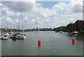
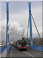
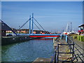
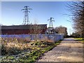
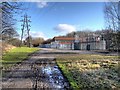
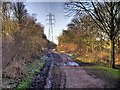
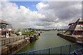
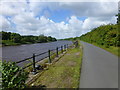
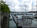
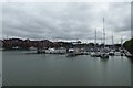
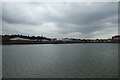
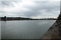
80 photos from this area
Area Information
Key information about the PR2 2YW including its size, population, and administrative classification.
- Area Type
- Postcode
- Area Size
- 19.6 hectares
- Population
- 1744
- Population Density
- 1098 people/km²
House Prices in PR2 2YW
40
Properties
£157,415
Average Sold Price
£40,000
Lowest Price
£320,000
Highest Price
Showing 40 properties
| Address | Type | Beds | Baths | Last Sale Price | Last Sale Date | |
|---|---|---|---|---|---|---|
| 11 Victoria Quay, Preston, PR2 2YW | Semi-detached | 3 | 1 | £200,000 | Nov 2023 | |
| 34 Victoria Quay, Preston, PR2 2YW | Terraced | 3 | 2 | £212,000 | Oct 2023 | |
| 17 Victoria Quay, Preston, PR2 2YW | house | 3 | 1 | £205,000 | Jul 2022 | |
| 19 Victoria Quay, Preston, PR2 2YW | Terraced | 3 | 1 | £180,000 | Jun 2022 | |
| 45 Victoria Quay, Preston, PR2 2YW | house | - | - | £270,010 | Nov 2021 | |
| 42 Victoria Quay, Preston, PR2 2YW | house | - | - | £220,000 | Feb 2021 | |
| 41 Victoria Quay, Preston, PR2 2YW | Terraced | 3 | 2 | £220,000 | Jul 2020 | |
| 31 Victoria Quay, Preston, PR2 2YW | Terraced | 3 | - | £205,000 | May 2019 | |
| 38 Victoria Quay, Preston, PR2 2YW | Semi-detached | 4 | - | £185,000 | Jan 2017 | |
| 26 Victoria Quay, Preston, PR2 2YW | Detached | 4 | - | £320,000 | Nov 2016 |
Page 1 of 4
Energy Efficiency in PR2 2YW
Amenities
Schools
| Rank | School | Type | Entry gender | Ages |
|---|
Explore more schools in this area
Go to Schools tabDemographics
Household Size
One person
most common
Accommodation Type
Houses
most common
Tenure
38
majority
Ethnic Group
White
most common
Religion
N/A
most common
Household Composition
N/A
most common
Age
47
median
Adults (30-64 years)
most common
Household Deprivation
N/A
with no deprivation
NS-SEC
36
in Lower managerial occupations
Explore more demographic insights in this area
Go to Demographics tabPlanning
Planning Constraints
- Flood RiskPremium
- Ramsar Wetland SitesPremium
- Area of Outstanding Natural BeautyPremium
- Protected Nature ReservePremium
- Protected WoodlandPremium