Area Overview for PR2 2LE
Photos of PR2 2LE
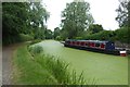
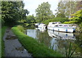
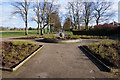
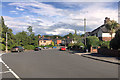
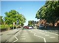
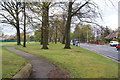
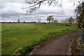
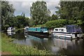
33 photos from this area
Area Information
Key information about the PR2 2LE including its size, population, and administrative classification.
- Area Type
- Postcode
- Area Size
- 6111 m²
- Population
- 1221
- Population Density
- 7450 people/km²
House Prices in PR2 2LE
14
Properties
£106,667
Average Sold Price
£18,000
Lowest Price
£181,000
Highest Price
Showing 14 properties
| Address | Type | Beds | Baths | Last Sale Price | Last Sale Date | |
|---|---|---|---|---|---|---|
| 443 Blackpool Road, Preston, PR2 2LE | Flat | - | - | £181,000 | Aug 2025 | |
| 483 Blackpool Road, Preston, PR2 2LE | Terraced | 2 | 1 | £75,000 | Jan 2025 | |
| 481 Blackpool Road, Preston, PR2 2LE | Terraced | 2 | 1 | £105,000 | Jun 2024 | |
| 477 Blackpool Road, Preston, PR2 2LE | Terraced | 2 | 1 | £115,000 | Oct 2023 | |
| 495 Blackpool Road, Preston, PR2 2LE | Retail | 2 | 1 | £122,000 | Mar 2022 | |
| 489 Blackpool Road, Preston, PR2 2LE | house | 5 | - | £120,000 | Dec 2012 | |
| 485 Blackpool Road, Preston, PR2 2LE | Terraced | 2 | 1 | £100,000 | Feb 2010 | |
| 487 Blackpool Road, Preston, PR2 2LE | Terraced | 2 | 1 | £124,000 | Nov 2007 | |
| 479 Blackpool Road, Preston, PR2 2LE | Terraced | 2 | 1 | £18,000 | Feb 1998 | |
| Flat 1, 465-467 Blackpool Road, Preston, PR2 2LE | Flat | - | - | - | - |
Page 1 of 2
Energy Efficiency in PR2 2LE
Amenities
Schools
| Rank | School | Type | Entry gender | Ages |
|---|
Explore more schools in this area
Go to Schools tabDemographics
Household Size
One person
most common
Accommodation Type
Houses
most common
Tenure
56
majority
Ethnic Group
White
most common
Religion
N/A
most common
Household Composition
N/A
most common
Age
47
median
Adults (30-64 years)
most common
Household Deprivation
N/A
with no deprivation
NS-SEC
29
in Lower managerial occupations
Explore more demographic insights in this area
Go to Demographics tabPlanning
Planning Constraints
- Flood RiskPremium
- Ramsar Wetland SitesPremium
- Area of Outstanding Natural BeautyPremium
- Protected Nature ReservePremium
- Protected WoodlandPremium