Area Overview for PR1 6XS
Photos of PR1 6XS
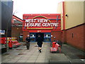
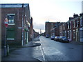
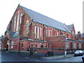
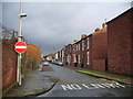
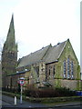
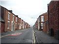
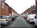
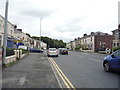
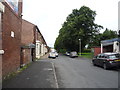
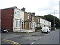
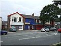
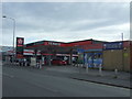
34 photos from this area
Area Information
Key information about the PR1 6XS including its size, population, and administrative classification.
- Area Type
- Postcode
- Area Size
- 1.4 hectares
- Population
- 2731
- Population Density
- 4485 people/km²
House Prices in PR1 6XS
39
Properties
£81,064
Average Sold Price
£23,000
Lowest Price
£162,000
Highest Price
Showing 39 properties
| Address | Type | Beds | Baths | Last Sale Price | Last Sale Date | |
|---|---|---|---|---|---|---|
| 7 Basil Street, Preston, PR1 6XS | Detached | 3 | 1 | £140,000 | Jun 2025 | |
| 33 Basil Street, Preston, PR1 6XS | Semi-detached | 3 | 1 | £110,000 | Sep 2024 | |
| 13 Basil Street, Preston, PR1 6XS | Semi-detached | 3 | 2 | £162,000 | May 2024 | |
| 39 Basil Street, Preston, PR1 6XS | Semi-detached | 3 | - | £115,000 | Mar 2021 | |
| 37 Basil Street, Preston, PR1 6XS | Semi-detached | 3 | 1 | £83,000 | Jul 2020 | |
| 73 Basil Street, Preston, PR1 6XS | Bungalow | 2 | - | £90,000 | Aug 2019 | |
| 67 Basil Street, Preston, PR1 6XS | Bungalow | 2 | - | £87,500 | Jul 2018 | |
| 35 Basil Street, Preston, PR1 6XS | Semi-detached | 3 | 1 | £84,500 | May 2017 | |
| 79 Basil Street, Preston, PR1 6XS | Bungalow | 2 | - | £65,000 | May 2013 | |
| 53 Basil Street, Preston, PR1 6XS | house | 3 | - | £75,000 | Mar 2013 |
Page 1 of 4
Energy Efficiency in PR1 6XS
Amenities
Schools
| Rank | School | Type | Entry gender | Ages |
|---|
Explore more schools in this area
Go to Schools tabDemographics
Household Size
Family (3-5 people)
most common
Accommodation Type
Houses
most common
Tenure
51
majority
Ethnic Group
White
most common
Religion
N/A
most common
Household Composition
N/A
most common
Age
47
median
Adults (30-64 years)
most common
Household Deprivation
N/A
with no deprivation
NS-SEC
17
in Lower managerial occupations
Explore more demographic insights in this area
Go to Demographics tabPlanning
Planning Constraints
- Flood RiskPremium
- Ramsar Wetland SitesPremium
- Area of Outstanding Natural BeautyPremium
- Protected Nature ReservePremium
- Protected WoodlandPremium