Area Overview for PR1 5XR
Photos of PR1 5XR

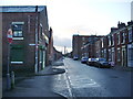
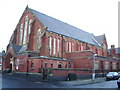
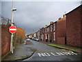
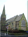
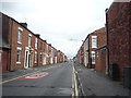
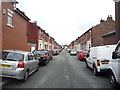
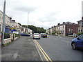
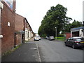
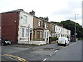
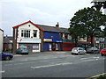
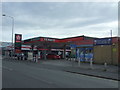
34 photos from this area
Area Information
Key information about the PR1 5XR including its size, population, and administrative classification.
- Area Type
- Postcode
- Area Size
- 1.0 hectares
- Population
- 2386
- Population Density
- 9299 people/km²
House Prices in PR1 5XR
25
Properties
£58,600
Average Sold Price
£26,500
Lowest Price
£75,500
Highest Price
Showing 25 properties
| Address | Type | Beds | Baths | Last Sale Price | Last Sale Date | |
|---|---|---|---|---|---|---|
| 44 Maitland Street, Preston, PR1 5XR | Terraced | 3 | 1 | £67,000 | Dec 2021 | |
| 50 Maitland Street, Preston, PR1 5XR | house | 2 | 1 | £55,000 | Nov 2021 | |
| 36 Maitland Street, Preston, PR1 5XR | Terraced | 2 | 1 | £71,000 | Jul 2016 | |
| 38 Maitland Street, Preston, PR1 5XR | Terraced | 3 | - | £59,000 | Mar 2016 | |
| 47 Maitland Street, Preston, PR1 5XR | Terraced | 3 | 1 | £72,000 | Dec 2014 | |
| 45 Maitland Street, Preston, PR1 5XR | Terraced | 3 | - | £75,500 | Oct 2014 | |
| 52 Maitland Street, Preston, PR1 5XR | Terraced | - | - | £68,000 | Sep 2008 | |
| 41 Maitland Street, Preston, PR1 5XR | house | - | - | £65,000 | Mar 2006 | |
| 46 Maitland Street, Preston, PR1 5XR | Terraced | 3 | 1 | £26,500 | Feb 2003 | |
| 48 Maitland Street, Preston, PR1 5XR | house | 3 | - | £27,000 | Oct 1996 |
Page 1 of 3
Energy Efficiency in PR1 5XR
Amenities
Schools
| Rank | School | Type | Entry gender | Ages |
|---|
Explore more schools in this area
Go to Schools tabDemographics
Household Size
Family (3-5 people)
most common
Accommodation Type
Houses
most common
Tenure
39
majority
Ethnic Group
White
most common
Religion
N/A
most common
Household Composition
N/A
most common
Age
47
median
Adults (30-64 years)
most common
Household Deprivation
N/A
with no deprivation
NS-SEC
12
in Lower managerial occupations
Explore more demographic insights in this area
Go to Demographics tabPlanning
Planning Constraints
- Flood RiskPremium
- Ramsar Wetland SitesPremium
- Area of Outstanding Natural BeautyPremium
- Protected Nature ReservePremium
- Protected WoodlandPremium