Area Overview for PR1 4QN
Photos of PR1 4QN
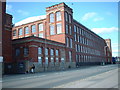
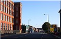

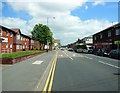
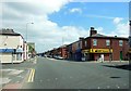
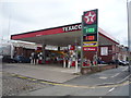
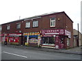
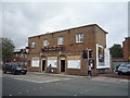
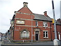
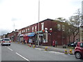
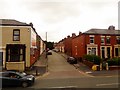
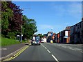
50 photos from this area
Area Information
Key information about the PR1 4QN including its size, population, and administrative classification.
- Area Type
- Postcode
- Area Size
- 1.9 hectares
- Population
- 1687
- Population Density
- 1137 people/km²
House Prices in PR1 4QN
47
Properties
£67,015
Average Sold Price
£17,946
Lowest Price
£128,000
Highest Price
Showing 47 properties
| Address | Type | Beds | Baths | Last Sale Price | Last Sale Date | |
|---|---|---|---|---|---|---|
| 45 Arnhem Road, Preston, PR1 4QN | house | - | - | £128,000 | Jun 2021 | |
| 19 Arnhem Road, Preston, PR1 4QN | Semi-detached | 2 | 1 | £62,000 | May 2021 | |
| 46 Arnhem Road, Preston, PR1 4QN | Semi-detached | 3 | - | £80,000 | Oct 2014 | |
| 36 Arnhem Road, Preston, PR1 4QN | house | - | - | £83,000 | Aug 2013 | |
| 71 Arnhem Road, Preston, PR1 4QN | Terraced | 3 | - | £68,000 | Mar 2013 | |
| 30 Arnhem Road, Preston, PR1 4QN | house | - | - | £50,000 | Oct 2012 | |
| 57 Arnhem Road, Preston, PR1 4QN | house | 3 | - | £96,000 | Feb 2012 | |
| 52 Arnhem Road, Preston, PR1 4QN | house | - | - | £63,000 | Sep 2011 | |
| 28 Arnhem Road, Preston, PR1 4QN | house | 3 | 1 | £82,000 | Jun 2009 | |
| 50 Arnhem Road, Preston, PR1 4QN | Semi-detached | - | - | £75,000 | Nov 2007 |
Page 1 of 5
Energy Efficiency in PR1 4QN
Amenities
Schools
| Rank | School | Type | Entry gender | Ages |
|---|
Explore more schools in this area
Go to Schools tabDemographics
Household Size
Family (3-5 people)
most common
Accommodation Type
Houses
most common
Tenure
43
majority
Ethnic Group
White
most common
Religion
N/A
most common
Household Composition
N/A
most common
Age
47
median
Adults (30-64 years)
most common
Household Deprivation
N/A
with no deprivation
NS-SEC
13
in Lower managerial occupations
Explore more demographic insights in this area
Go to Demographics tabPlanning
Planning Constraints
- Flood RiskPremium
- Ramsar Wetland SitesPremium
- Area of Outstanding Natural BeautyPremium
- Protected Nature ReservePremium
- Protected WoodlandPremium