Area Overview for PR1 2XQ
Photos of PR1 2XQ
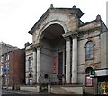
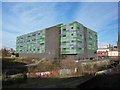
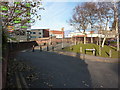
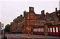
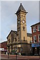
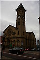
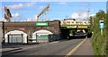
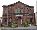
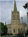
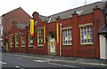

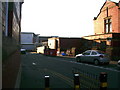
100 photos from this area
Area Information
Key information about the PR1 2XQ including its size, population, and administrative classification.
- Area Type
- Postcode
- Area Size
- 4.2 hectares
- Population
- 1972
- Population Density
- 6631 people/km²
House Prices in PR1 2XQ
17
Properties
£225,750
Average Sold Price
£121,500
Lowest Price
£330,000
Highest Price
Showing 17 properties
| Address | Type | Beds | Baths | Last Sale Price | Last Sale Date | |
|---|---|---|---|---|---|---|
| 69A Fylde Road, Preston, PR1 2XQ | Flat | - | - | £330,000 | Dec 2007 | |
| 75A Fylde Road, Preston, PR1 2XQ | Maisonette | - | - | £121,500 | Feb 2007 | |
| 65B Fylde Road, Preston, PR1 2XQ | Flat | 1 | 1 | - | - | |
| 1A Fylde Road, Preston, PR1 2XQ | Flat | - | - | - | - | |
| 63B Fylde Road, Preston, PR1 2XQ | Flat | - | - | - | - | |
| University Of Central Lancashire, Hanover Building, Bhailok Street, Preston, PR1 2XQ | commercial | - | - | - | - | |
| 63A Fylde Road, Preston, PR1 2XQ | Flat | - | - | - | - | |
| 61 Fylde Road, Preston, PR1 2XQ | Flat | - | - | - | - | |
| Falafal Food Van, Stocks Street, Preston, PR1 2XQ | commercial | - | - | - | - | |
| 85A Fylde Road, Preston, PR1 2XQ | Flat | - | - | - | - |
Page 1 of 2
Energy Efficiency in PR1 2XQ
Amenities
Schools
| Rank | School | Type | Entry gender | Ages |
|---|
Explore more schools in this area
Go to Schools tabDemographics
Household Size
One person
most common
Accommodation Type
Houses
most common
Tenure
20
majority
Ethnic Group
White
most common
Religion
N/A
most common
Household Composition
N/A
most common
Age
22
median
Young Adults (15-29 years)
most common
Household Deprivation
N/A
with no deprivation
NS-SEC
9
in Lower managerial occupations
Explore more demographic insights in this area
Go to Demographics tabPlanning
Planning Constraints
- Flood RiskPremium
- Ramsar Wetland SitesPremium
- Area of Outstanding Natural BeautyPremium
- Protected Nature ReservePremium
- Protected WoodlandPremium