Area Overview for Plungington Ward
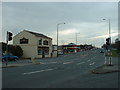
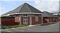
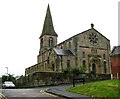
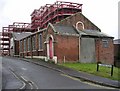
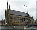
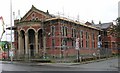
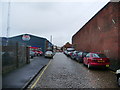
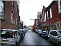
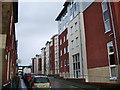
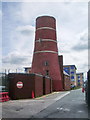
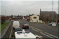
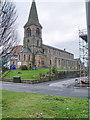
Photos of Plungington Ward
Area Information
Plungington Ward stands as a compact district within the Borough of Plungington, covering just 2.0 square kilometres. Despite its small footprint, it accommodates a resident population of 1,935 people, resulting in a population density of 959 inhabitants per square kilometre. This density indicates a neighbourhood where distances between homes and amenities remain relatively short for daily living. The area offers a distinct local character defined by its modest size and close-knit scale. Living in Plungington Ward means navigating a space where community interactions are likely frequent due to the higher concentration of residents within such a limited geographic boundary. The ward's demographics suggest a settlement with specific societal needs, shaped by a resident base that skews significantly older than the national average. Prospective homebuyers should note that this area does not share the expansive green corridors of larger districts but concentrates its population across a managed quarter of land. Daily life here focuses on local services and immediate neighbours rather than regional commuting or broad urban sprawl. Understanding the physical layout and human scale of this 2.0 square kilometre zone is essential for those considering ownership within Plungington Ward.
- Area Type
- District Borough Unitary Ward
- Area Size
- 2.0 km²
- Population
- 1935
- Population Density
- 959 people/km²
Demographics
The community profile of Plungington Ward is dominated by older residents, with a median age of 70 years. This statistic confirms that the area serves primarily as a retirement destination or home for established families with elderly members. The most common age classification provided encompasses the total population, reinforcing the shift towards senior living standards. Approximately 36% of households in the ward are owner-occupied, meaning the majority of the stock remains within the private rental sector or social housing. This high rental proportion contrasts with many affluent retirement villages and suggests a diverse tenancy structure that buyers must consider. While specific figures for household composition, predominant ethnic groups, and religious demographics are not detailed in the available records, the clear age signal shapes the local culture. A population with a median age of 70 likely demands specific healthcare provisions and social activities alongside standard residential comforts. Deprivation data is absent from the current profile, so the focus remains on the structural age shift. For those buying homes in Plungington Ward, the demographic reality implies a quieter, perhaps slower-paced environment where services must cater to mobility and age-related requirements.
Household Size
Accommodation Type
Tenure
Ethnic Group
Religion
Household Composition
Age
Household Deprivation
NS-SEC
Explore more demographic insights in this area
Go to Demographics tabPlanning
Planning Constraints
- Flood RiskPremium
- Ramsar Wetland SitesPremium
- Area of Outstanding Natural BeautyPremium
- Protected Nature ReservePremium
- Protected WoodlandPremium
- Crime RiskPremium