Area Overview for OL9 8PJ
Photos of OL9 8PJ
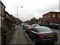
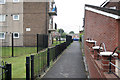
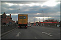
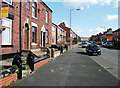

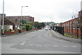
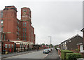
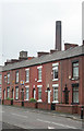
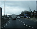

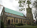
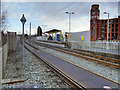
59 photos from this area
Area Information
Key information about the OL9 8PJ including its size, population, and administrative classification.
- Area Type
- Postcode
- Area Size
- 3.7 hectares
- Population
- 2294
- Population Density
- 3977 people/km²
House Prices in OL9 8PJ
9
Properties
£118,600
Average Sold Price
£98,000
Lowest Price
£167,000
Highest Price
Showing 9 properties
| Address | Type | Beds | Baths | Last Sale Price | Last Sale Date | |
|---|---|---|---|---|---|---|
| 10 Cotswold Avenue, Chadderton, OL9 8PJ | Bungalow | 1 | 1 | £110,500 | Dec 2022 | |
| 4 Cotswold Avenue, Chadderton, OL9 8PJ | Bungalow | - | - | £167,000 | Jul 2018 | |
| 6 Cotswold Avenue, Chadderton, OL9 8PJ | house | - | - | £102,500 | Mar 2014 | |
| 2 Cotswold Avenue, Chadderton, OL9 8PJ | Bungalow | 2 | - | £115,000 | Aug 2009 | |
| 8 Cotswold Avenue, Chadderton, OL9 8PJ | Terraced | - | - | £98,000 | Nov 2007 | |
| 12 Cotswold Avenue, Chadderton, OL9 8PJ | Bungalow | 1 | 1 | - | - | |
| Qed, Cotswold Avenue, Chadderton, OL9 8PJ | Office | - | - | - | - | |
| James Dransfield And Co, Cotswold Avenue, Chadderton, OL9 8PJ | Office | - | - | - | - | |
| T Greenwood And Sons Haulage Contractors, Cotswold Avenue, Chadderton, OL9 8PJ | warehouse | - | - | - | - |
Energy Efficiency in OL9 8PJ
Amenities
Schools
| Rank | School | Type | Entry gender | Ages |
|---|
Explore more schools in this area
Go to Schools tabDemographics
Household Size
One person
most common
Accommodation Type
Houses
most common
Tenure
57
majority
Ethnic Group
White
most common
Religion
N/A
most common
Household Composition
N/A
most common
Age
47
median
Adults (30-64 years)
most common
Household Deprivation
N/A
with no deprivation
NS-SEC
21
in Lower managerial occupations
Explore more demographic insights in this area
Go to Demographics tabPlanning
Planning Constraints
- Flood RiskPremium
- Ramsar Wetland SitesPremium
- Area of Outstanding Natural BeautyPremium
- Protected Nature ReservePremium
- Protected WoodlandPremium