Area Overview for OL9 8DX
Photos of OL9 8DX
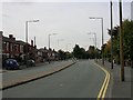
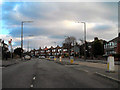
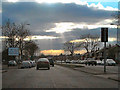
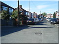
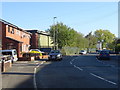
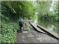
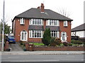
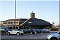
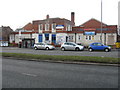
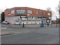
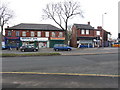
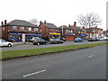
41 photos from this area
Area Information
Key information about the OL9 8DX including its size, population, and administrative classification.
- Area Type
- Postcode
- Area Size
- 1.8 hectares
- Population
- 1392
- Population Density
- 3629 people/km²
House Prices in OL9 8DX
8
Properties
£135,990
Average Sold Price
£50,000
Lowest Price
£230,000
Highest Price
Showing 8 properties
| Address | Type | Beds | Baths | Last Sale Price | Last Sale Date | |
|---|---|---|---|---|---|---|
| 89 Butterworth Lane, Chadderton, OL9 8DX | Semi-detached | 4 | 1 | £165,000 | Apr 2025 | |
| 79 Butterworth Lane, Chadderton, OL9 8DX | house | 3 | - | £230,000 | Jan 2022 | |
| 81 Butterworth Lane, Chadderton, OL9 8DX | Semi-detached | 3 | 1 | £115,000 | Sep 2013 | |
| 87 Butterworth Lane, Chadderton, OL9 8DX | house | - | - | £119,950 | Jul 2006 | |
| 83 Butterworth Lane, Chadderton, OL9 8DX | Semi-detached | - | - | £50,000 | Feb 2000 | |
| Collective Spirit Free School, Butterworth Lane, Chadderton, OL9 8DX | commercial | - | - | - | - | |
| 85 Butterworth Lane, Chadderton, OL9 8DX | Semi-detached | - | - | - | - | |
| 72 Butterworth Lane, Chadderton, OL9 8DX | Retirement | - | - | - | - |
Energy Efficiency in OL9 8DX
Amenities
Schools
| Rank | School | Type | Entry gender | Ages |
|---|
Explore more schools in this area
Go to Schools tabDemographics
Household Size
Two person
most common
Accommodation Type
Houses
most common
Tenure
79
majority
Ethnic Group
White
most common
Religion
N/A
most common
Household Composition
N/A
most common
Age
47
median
Adults (30-64 years)
most common
Household Deprivation
N/A
with no deprivation
NS-SEC
26
in Lower managerial occupations
Explore more demographic insights in this area
Go to Demographics tabPlanning
Planning Constraints
- Flood RiskPremium
- Ramsar Wetland SitesPremium
- Area of Outstanding Natural BeautyPremium
- Protected Nature ReservePremium
- Protected WoodlandPremium