Area Overview for OL9 7HX
Photos of OL9 7HX
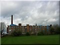
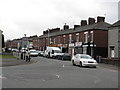
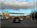
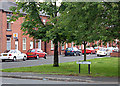
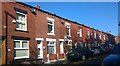
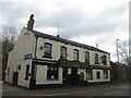
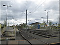
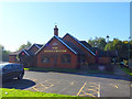
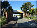
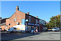
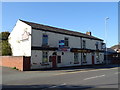
39 photos from this area
Area Information
Key information about the OL9 7HX including its size, population, and administrative classification.
- Area Type
- Postcode
- Area Size
- 2.2 hectares
- Population
- 1913
- Population Density
- 7249 people/km²
House Prices in OL9 7HX
18
Properties
£79,808
Average Sold Price
£31,500
Lowest Price
£155,000
Highest Price
Showing 18 properties
| Address | Type | Beds | Baths | Last Sale Price | Last Sale Date | |
|---|---|---|---|---|---|---|
| 49 Derby Street, Chadderton, OL9 7HX | Terraced | 2 | 1 | £145,000 | Jul 2025 | |
| 39 Derby Street, Chadderton, OL9 7HX | Terraced | 2 | 1 | £155,000 | Jul 2024 | |
| 35 Derby Street, Chadderton, OL9 7HX | house | - | - | £129,000 | May 2021 | |
| 23 Derby Street, Chadderton, OL9 7HX | house | - | - | £88,000 | Mar 2020 | |
| 31 Derby Street, Chadderton, OL9 7HX | house | - | - | £78,000 | Dec 2019 | |
| 47 Derby Street, Chadderton, OL9 7HX | house | 2 | - | £75,000 | Apr 2014 | |
| 25 Derby Street, Chadderton, OL9 7HX | house | - | - | £70,000 | Aug 2013 | |
| 43 Derby Street, Chadderton, OL9 7HX | house | - | - | £83,500 | Mar 2012 | |
| 45 Derby Street, Chadderton, OL9 7HX | house | - | - | £80,000 | Feb 2010 | |
| 37 Derby Street, Chadderton, OL9 7HX | house | - | - | £31,500 | Dec 2001 |
Page 1 of 2
Energy Efficiency in OL9 7HX
Amenities
Schools
| Rank | School | Type | Entry gender | Ages |
|---|
Explore more schools in this area
Go to Schools tabDemographics
Household Size
Family (3-5 people)
most common
Accommodation Type
Houses
most common
Tenure
43
majority
Ethnic Group
White
most common
Religion
N/A
most common
Household Composition
N/A
most common
Age
47
median
Adults (30-64 years)
most common
Household Deprivation
N/A
with no deprivation
NS-SEC
19
in Lower managerial occupations
Explore more demographic insights in this area
Go to Demographics tabPlanning
Planning Constraints
- Flood RiskPremium
- Ramsar Wetland SitesPremium
- Area of Outstanding Natural BeautyPremium
- Protected Nature ReservePremium
- Protected WoodlandPremium