Area Overview for OL7 0QF
Photos of OL7 0QF
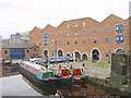
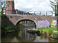
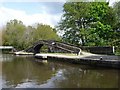
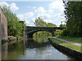
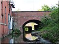
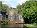
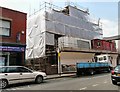
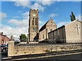
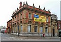
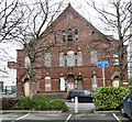
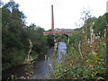
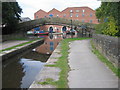
100 photos from this area
Area Information
Key information about the OL7 0QF including its size, population, and administrative classification.
- Area Type
- Postcode
- Area Size
- 9586 m²
- Population
- 1371
- Population Density
- 4377 people/km²
House Prices in OL7 0QF
34
Properties
£115,218
Average Sold Price
£57,000
Lowest Price
£142,000
Highest Price
Showing 34 properties
| Address | Type | Beds | Baths | Last Sale Price | Last Sale Date | |
|---|---|---|---|---|---|---|
| 29 Boatmans Walk, Ashton Under Lyne, OL7 0QF | Flat | - | - | £90,000 | Sep 2025 | |
| 34 Boatmans Walk, Ashton Under Lyne, OL7 0QF | Flat | - | - | £80,000 | Oct 2024 | |
| 9 Boatmans Walk, Ashton Under Lyne, OL7 0QF | Flat | - | - | £66,000 | Jun 2022 | |
| 12 Boatmans Walk, Ashton Under Lyne, OL7 0QF | Flat | - | - | £66,000 | Jun 2022 | |
| 10 Boatmans Walk, Ashton Under Lyne, OL7 0QF | Flat | 2 | - | £66,000 | Jun 2022 | |
| 2 Boatmans Walk, Ashton Under Lyne, OL7 0QF | Flat | - | - | £60,000 | May 2018 | |
| 3 Boatmans Walk, Ashton Under Lyne, OL7 0QF | Flat | - | - | £57,000 | Apr 2018 | |
| 7 Boatmans Walk, Ashton Under Lyne, OL7 0QF | Flat | - | - | £65,200 | May 2017 | |
| 20 Boatmans Walk, Ashton Under Lyne, OL7 0QF | Flat | - | - | £135,000 | Apr 2008 | |
| 18 Boatmans Walk, Ashton Under Lyne, OL7 0QF | Flat | - | - | £135,000 | Mar 2008 |
Page 1 of 4
Energy Efficiency in OL7 0QF
Amenities
Schools
| Rank | School | Type | Entry gender | Ages |
|---|
Explore more schools in this area
Go to Schools tabDemographics
Household Size
One person
most common
Accommodation Type
Flats
most common
Tenure
10
majority
Ethnic Group
White
most common
Religion
N/A
most common
Household Composition
N/A
most common
Age
47
median
Adults (30-64 years)
most common
Household Deprivation
N/A
with no deprivation
NS-SEC
13
in Lower managerial occupations
Explore more demographic insights in this area
Go to Demographics tabPlanning
Planning Constraints
- Flood RiskPremium
- Ramsar Wetland SitesPremium
- Area of Outstanding Natural BeautyPremium
- Protected Nature ReservePremium
- Protected WoodlandPremium