Area Overview for OL6 9QX
Photos of OL6 9QX
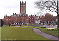
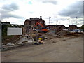
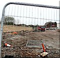
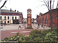
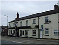
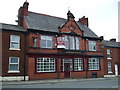
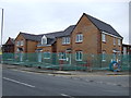
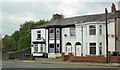
100 photos from this area
Area Information
Key information about the OL6 9QX including its size, population, and administrative classification.
- Area Type
- Postcode
- Area Size
- 1552 m²
- Population
- 1839
- Population Density
- 12459 people/km²
House Prices in OL6 9QX
10
Properties
£90,688
Average Sold Price
£65,000
Lowest Price
£138,000
Highest Price
Showing 10 properties
| Address | Type | Beds | Baths | Last Sale Price | Last Sale Date | |
|---|---|---|---|---|---|---|
| 47 Curzon Road, Ashton Under Lyne, OL6 9QX | house | - | - | £138,000 | Jan 2022 | |
| 41 Curzon Road, Ashton Under Lyne, OL6 9QX | Terraced | 2 | 1 | £87,500 | Mar 2020 | |
| 43 Curzon Road, Ashton Under Lyne, OL6 9QX | house | - | - | £65,000 | Aug 2012 | |
| 48 Curzon Road, Ashton Under Lyne, OL6 9QX | house | - | - | £90,000 | Sep 2008 | |
| 54 Curzon Road, Ashton Under Lyne, OL6 9QX | house | - | - | £90,000 | Mar 2008 | |
| 50 Curzon Road, Ashton Under Lyne, OL6 9QX | house | - | - | £84,000 | Feb 2008 | |
| 45 Curzon Road, Ashton Under Lyne, OL6 9QX | house | - | - | £96,000 | Nov 2007 | |
| 46 Curzon Road, Ashton Under Lyne, OL6 9QX | house | - | - | £75,000 | Oct 2005 | |
| 39 Curzon Road, Ashton Under Lyne, OL6 9QX | Terraced | 2 | 2 | - | - | |
| 52 Curzon Road, Ashton Under Lyne, OL6 9QX | house | - | - | - | - |
Energy Efficiency in OL6 9QX
Amenities
Schools
| Rank | School | Type | Entry gender | Ages |
|---|
Explore more schools in this area
Go to Schools tabDemographics
Household Size
One person
most common
Accommodation Type
Houses
most common
Tenure
36
majority
Ethnic Group
White
most common
Religion
N/A
most common
Household Composition
N/A
most common
Age
47
median
Adults (30-64 years)
most common
Household Deprivation
N/A
with no deprivation
NS-SEC
16
in Lower managerial occupations
Explore more demographic insights in this area
Go to Demographics tabPlanning
Planning Constraints
- Flood RiskPremium
- Ramsar Wetland SitesPremium
- Area of Outstanding Natural BeautyPremium
- Protected Nature ReservePremium
- Protected WoodlandPremium