Area Overview for OL6 9PT
Photos of OL6 9PT
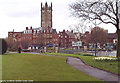
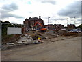
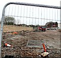
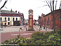
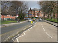
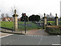
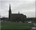
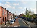
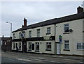

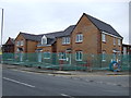
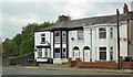
100 photos from this area
Area Information
Key information about the OL6 9PT including its size, population, and administrative classification.
- Area Type
- Postcode
- Area Size
- 3787 m²
- Population
- 1839
- Population Density
- 12459 people/km²
House Prices in OL6 9PT
20
Properties
£63,895
Average Sold Price
£17,000
Lowest Price
£130,000
Highest Price
Showing 20 properties
| Address | Type | Beds | Baths | Last Sale Price | Last Sale Date | |
|---|---|---|---|---|---|---|
| 135 Curzon Road, Ashton Under Lyne, OL6 9PT | Terraced | 2 | 1 | £130,000 | Jul 2023 | |
| 94 Curzon Road, Ashton Under Lyne, OL6 9PT | house | 2 | 1 | £118,000 | May 2022 | |
| 104 Curzon Road, Ashton Under Lyne, OL6 9PT | Terraced | 2 | 1 | £77,000 | Apr 2021 | |
| 131 Curzon Road, Ashton Under Lyne, OL6 9PT | Terraced | 2 | 1 | £100,000 | Mar 2019 | |
| 90 Curzon Road, Ashton Under Lyne, OL6 9PT | Terraced | 2 | 1 | £61,000 | Oct 2018 | |
| 102 Curzon Road, Ashton Under Lyne, OL6 9PT | house | - | - | £50,000 | Mar 2017 | |
| 100 Curzon Road, Ashton Under Lyne, OL6 9PT | Terraced | 2 | 1 | £17,000 | Oct 2004 | |
| 133 Curzon Road, Ashton Under Lyne, OL6 9PT | Terraced | 2 | - | £34,000 | Mar 2000 | |
| 86 Curzon Road, Ashton Under Lyne, OL6 9PT | house | - | - | £24,950 | Jan 1998 | |
| 129 Curzon Road, Ashton Under Lyne, OL6 9PT | house | - | - | £27,000 | Feb 1997 |
Page 1 of 2
Energy Efficiency in OL6 9PT
Amenities
Schools
| Rank | School | Type | Entry gender | Ages |
|---|
Explore more schools in this area
Go to Schools tabDemographics
Household Size
One person
most common
Accommodation Type
Houses
most common
Tenure
36
majority
Ethnic Group
White
most common
Religion
N/A
most common
Household Composition
N/A
most common
Age
47
median
Adults (30-64 years)
most common
Household Deprivation
N/A
with no deprivation
NS-SEC
16
in Lower managerial occupations
Explore more demographic insights in this area
Go to Demographics tabPlanning
Planning Constraints
- Flood RiskPremium
- Ramsar Wetland SitesPremium
- Area of Outstanding Natural BeautyPremium
- Protected Nature ReservePremium
- Protected WoodlandPremium